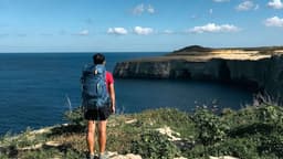
Wicklow Way – 7-Day Trek Through Ireland's Emerald Mountains
Discover the magic of Ireland's most beloved long-distance trail just steps from Dublin. The Wicklow Way rewards you with pristine wilderness, genuine Irish hospitality, and a welcoming pub at every stop.

In this article
- Start Point: Dublin - Marlay Park
- Distance: 127 km
- Difficulty: Trekking
- Stages: 7
The Wicklow Way is a magnificent Irish trekking experience – and deservedly ranks among the top 5 treks in Ireland – extending from Dublin through County Wicklow to the charming village of Clonegal. Spanning 127km and walkable in 7 days of trekking, it's a solitary journey far removed from urban centres and deeply immersed in wild, authentic nature. If you're seeking to explore Ireland at a leisurely pace, this trek is absolutely perfect for you.
Wicklow Way: Essential Information
The Wicklow Way is Ireland's first long-distance walking trail, established in 1980 following the success of the Ulster Way in Northern Ireland, created a decade earlier, and inspired by similar tourism-focused trails across England and continental Europe.
The route traverses County Wicklow and its national park for most of its length. Exactly 127km long, it is bidirectional, walkable in either north-to-south or south-to-north direction. In this guide, we cover the latter route, as it's the approach most guidebooks describe and offers Dublin as an optimal logistical starting point.
The Wicklow Way departs from Marlay Park, a spacious green area in the southern suburbs of Dublin, easily accessible from the city centre by convenient bus service (Route 6). The finish point is the small village of Clonegal in County Carlow, just a few kilometres south of Wicklow's border.
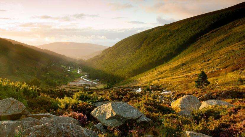
The Wicklow Way isn't suitable for everyone. It requires a minimum of mountain trekking experience, not primarily due to trail difficulty, but because you walk in isolation, kilometres away from villages, towns and settlements except at overnight stops. The route traverses mountains, lakes, streams, small waterfalls, heathland, pastures, farmland and, particularly towards the end, some woodlands. This trek's essence lies in untouched wilderness – a succession of diverse, unique landscapes embodying what many imagine as the very soul of Ireland.
Quick fact! The Wicklow Way forms part of the European E8 Trail, which ideally connects Cork to Istanbul (though several sections remain to be officially activated).
Difficulty Level of the Wicklow Way
The Wicklow Way is a moderate-difficulty trekking route, classified as E (Trekking) on the hiking difficulty scale.
Daily elevation gains averaging around 450m certainly affect the overall difficulty, but that's only part of the picture. Significant factors include the often rough terrain underfoot and the constant sense of isolation – walking far from settlements or roads. Add unpredictable weather, your laden backpack, and consecutive days of walking, and you get a more complete understanding. Let's explore each element in detail.
- Moderate elevation gain – The Wicklow Way's total elevation gain is 3200m, not excessive for a mountain trail, distributed across 7 walking days. Daily stages never exceed 20km, keeping physical demands manageable.
- Challenging terrain – The Wicklow Way follows forest trails, rolling hills and heathland for much of its length, subject to all weather conditions and natural wear. In certain sections, particularly where ground conditions are wet and boggy, wooden boardwalks provide safer, faster passage for trekkers.
- Rain – Ireland's abundant precipitation throughout the year presents a genuine challenge for any trekker. Walking in rain is both mentally draining and potentially dangerous. It demands extra caution, especially on descents or rocky ground, plus you'll contend with mud and a slower pace.
- Backpack weight – A week-long trek typically requires a pack weighing 8-10kg, carrying sufficient water and food for daily walking. Given Ireland's unpredictable weather and temperature swings, you'll need mid-season gear even in summer – heavier and bulkier than what might be needed for walks in Italy or Spain during the same period.
- Multiple consecutive days – Walking for several days under these conditions adds both physical and mental challenge. Beyond bodily fatigue, you must be mentally prepared for anything, including potentially a week of rain.
- Remote wilderness walking – The Wicklow Way traverses very isolated terrain, encountering houses or villages only at stage endpoints. This means you're ultimately reliant on yourself should anything occur at any point. You must always know your precise location, crucial information if you need rescue or assistance. If you lose the trail, you need strong navigation skills to quickly relocate it. A compass and GPS can be invaluable here. Walking with a companion naturally makes everything simpler and safer.
If independent organisation doesn't appeal, you lack time for detailed route planning or accommodation research, consider letting us handle everything – enjoy the Wicklow Way worry-free. Check out our guided Wicklow Way journey, or contact us for a fully customised option. Our package includes daily baggage transfer!
Wicklow Way Stages
The Wicklow Way stretches 127km (excluding alternatives) and is traditionally divided into 7 stages ranging from 12km to 21km. Given its remote, nature-immersed character, stage endpoints are predetermined. If you start the day, you must be confident you can reach the next village. Here are the 7 stages of the Wicklow Way:
- Stage 1 – Marlay Park to Knockree
- 21km +600m elevation 7h
- Stage 2 – Knockree to Roundwood
- 18km +500m elevation 6.5h
- Stage 3 – Roundwood to Glendalough
- 12km +350m elevation 4h
- Stage 4 – Glendalough to Glenmalure
- 14km +400m elevation 4.5h
- Stage 5 – Glenmalure to Moyne
- 21km +550m elevation 7h
- Stage 6 – Moyne to Shillelagh
- 21km +500m elevation 7h
- Stage 7 – Shillelagh to Clonegal
- 19km +300m elevation 6h
Trail Marking on the Wicklow Way
Established in 1980 as mentioned, the Wicklow Way was Ireland's first long-distance trail. Many others have since emerged, and today the republic boasts 42 National Waymarked Trails – a network of tourism-oriented pathways. Each long-distance trail, including the Kerry Way for instance, follows the same standards and marking system.
The Wicklow Way features two types of trail markers:
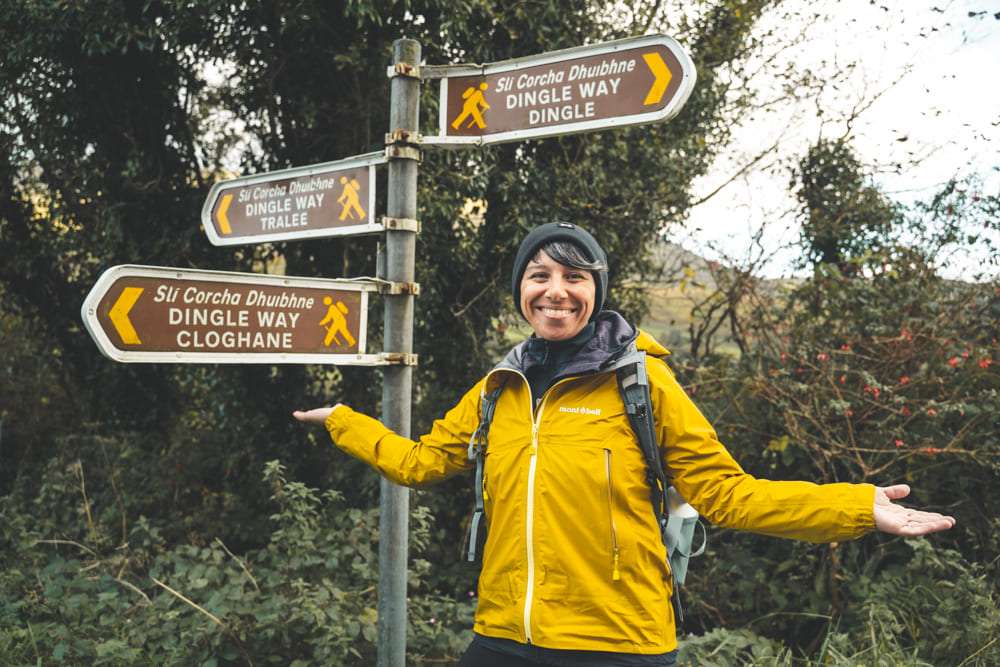
- Wooden posts – Standing one metre high, positioned at regular sightlines along the trail and across open ground to indicate direction. Each post's upper end displays a yellow-painted arrow with a walking figure. Despite regular maintenance, vegetation can occasionally hide posts, or winter storms might topple them. Constant vigilance is necessary.
- Metal signposts – Standing two metres tall, found mainly on road sections and near houses or villages. Again, watch carefully at junctions, as thick Irish vegetation may obscure them.
Best Time to Walk the Wicklow Way
The Wicklow Way begins in Dublin's southern suburbs, continuing southward through County Wicklow. We're in rolling mountain-and-hill terrain, not far from the Irish Sea, and, like all Ireland, subject to substantial rainfall. Anyone who's visited knows the vivid green of Irish meadows comes from nearly constant, unpredictable rain. In 2019, the country recorded 129 days of precipitation throughout the year.
Share
apiediperilmondo by wayure
New articles on walks, trekking and hiking trips. Free, no spam.
Co-fondatrice, Apiediperilmondo
I've been organising walks since I discovered that walking slow is the fastest way to know a place. I take care of every logistical detail so you can focus only on the steps ahead.
Profilo e tutti gli articoli di DeborahDiscover our itineraries
in Ireland.
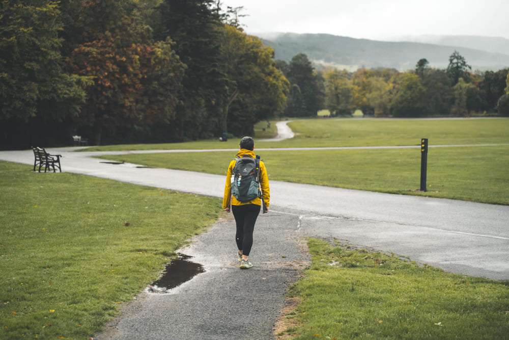
Complete Wicklow Way - Ireland's Oldest Trail
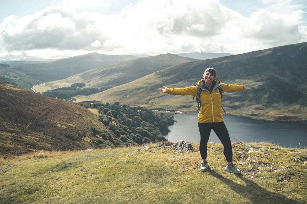
Wicklow Way: Short Version with 2 Nights in Dublin
Dingle Way Loop from Tralee
Want a tailor-made itinerary?
Plan your trip