Italy Coast to Coast: Walking from Portonovo to Orbetello
Discover a 410km walking journey across Italy from the Adriatic to the Tyrrhenian Sea. This coast-to-coast adventure reveals hidden landscapes, ancient villages, and the soul of central Italy.

Italy Coast to Coast Technical Details
Start: Portonovo
Finish: Orbetello
Distance: 410 km
Trail Type: Asphalt – Footpaths – Gravel
Difficulty: E Grade Hiking
Estimated Duration: 18 – 20 days
Best Season: March – November
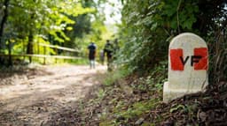
Waymarking: Follow the guide and red-white trail markers
Italy Coast to Coast, often abbreviated as “C2C” or “Adriatic/Tyrrhenian”, is not a pilgrimage in the strict sense—not a path of devotion or spiritual quest—although it does traverse lands steeped in Franciscan heritage.
Coast2Coast is a cultural and natural heritage route that crosses central Italy, connecting two seas: the Adriatic and the Tyrrhenian.
This is a cultural, historical, religious and natural itinerary that links the Adriatic to the Tyrrhenian Sea via two mountains standing like sentinels in the water (Monte Conero and Monte Argentario respectively), passing through the Marches, Umbria, Lazio and Tuscany, in a “slow travel” experience through art cities and lesser-known villages of an “off-the-beaten-path” Italy.
This is one of the possible routes between the two seas, developed and presented about two years ago by Simone Frignani in his guidebook
The printed guide is an essential and sufficient tool for this route, as there is no dedicated waymarking on the path.
The Walk by Numbers
The route crosses four regions—the Marches, Umbria, Lazio and Tuscany—covering 410 km divided into 18 daily stages, with an average length of 23 km.
The starting point is Portonovo, a true gem of the Monte Conero Regional Park, where it's worth visiting the Romanesque Church of Santa Maria, dating from the 11th century.
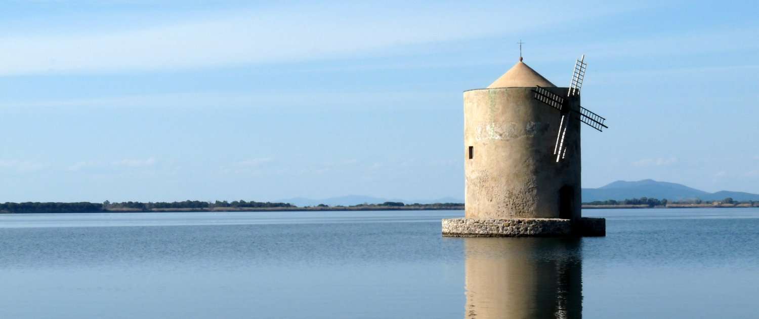
The finish point is Orbetello, with its characteristic lagoon.
Landscape and Trail of Italy Coast to Coast
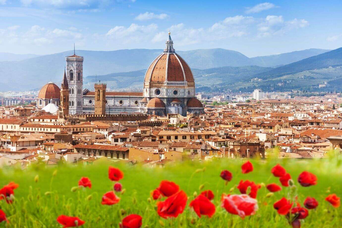
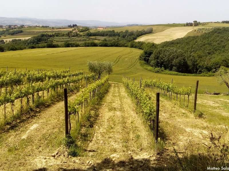
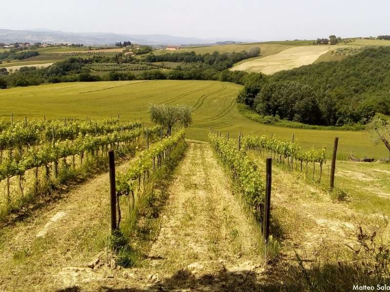
The landscape you'll encounter most often features pleasant rolling hills and woodland, almost always adorned with vineyards, olive groves, sprawling cultivations, broom flowers, poppies and alfalfa.
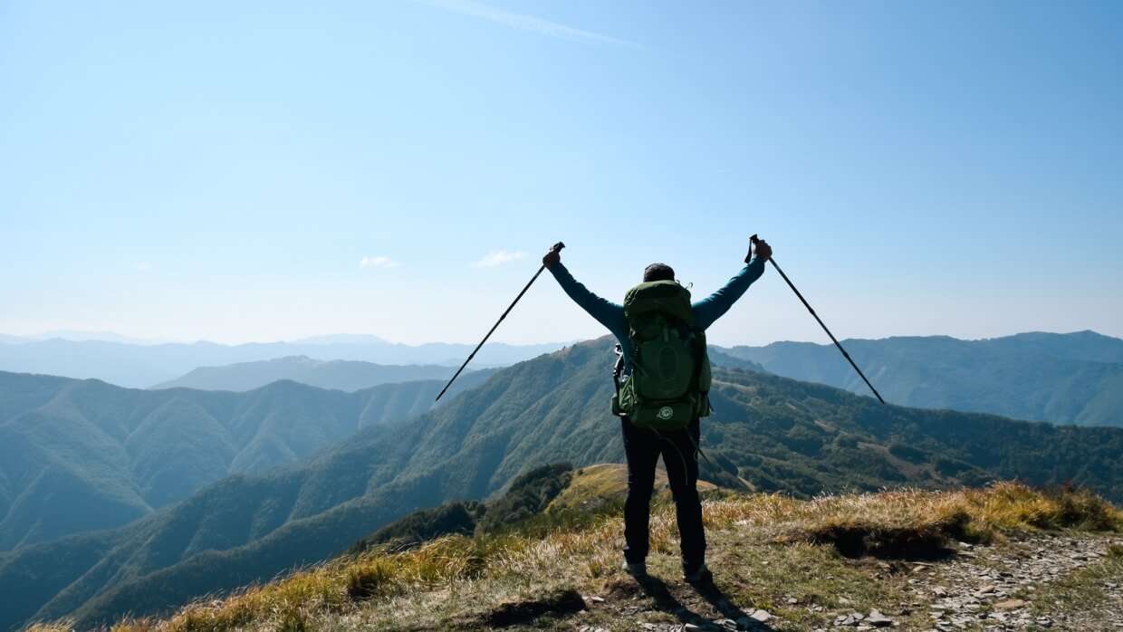
The route consists mainly of dirt roads, country paths and forest trails: the modest elevation gains are accompanied by lightly trodden or virtually untrodden footpaths.
The trail favours white gravel roads (often magnificent and quiet) and genuine mountain and forest paths. The few asphalt sections carry minimal traffic and pose no disturbance or danger to walkers.
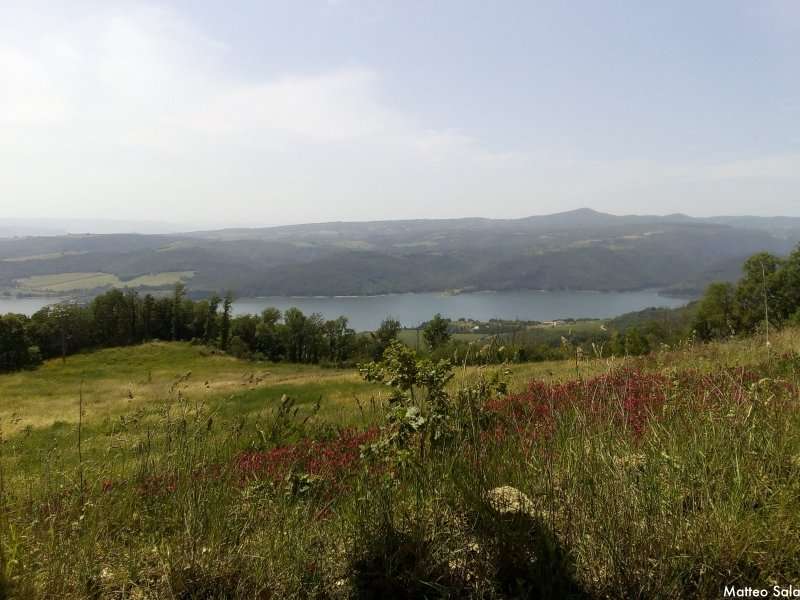
It's important to note that during the slightest rainfall, wooded sections transform into muddy, slippery terrain; particularly on the stretch between San Severino and Pioraco, the path becomes essentially a dry creek bed. The trails are not well-trodden, and in some sections you'll encounter tall grass, though no part of the route is exposed or dangerous.
In many stages (particularly in Tuscany, in the Pecorino DOP region) you'll encounter livestock guardian dogs accompanying flocks, or typical farmyard dogs, more or less tied up, who may bark to alert their owners to your arrival (like a postman's dog). In two instances you'll cross private property, where the owners are extremely friendly and knowledgeable.
Importantly, there is no real danger provided you continue walking calmly and behave with common sense and courtesy. During daylight hours, neither wild boar nor hunters will disturb your journey.
The first section of the walk presents significant elevation gains, particularly across the three stages between San Severino Marche and Assisi, where you'll approach 1,000 metres altitude in more than one place, with hundreds of metres of steep climbing. The second section, from Bolsena onwards through Tuscany, is decidedly flat with no significant ups and downs.
Best Season
Though theoretically possible year-round given altitudes never exceed 1,000 metres, the many sun-exposed sections make spring, early summer (not beyond June) and parts of autumn the most enjoyable times for walking. This also applies when considering the changing beauty of wildflower blooms and crop colours.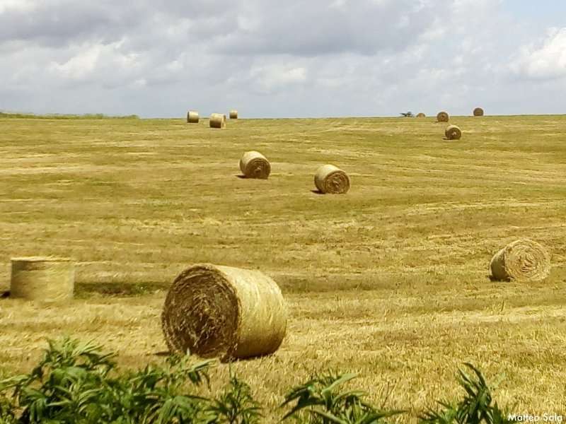
Difficulty of Italy Coast to Coast
One of the major challenges on this walk is undoubtedly the lack of dedicated waymarking. The guidebook is therefore an essential tool for anyone undertaking the Italy Coast2Coast.
At full E-grade difficulty level, Italy Coast to Coast is not a route to take lightly; the absence of dedicated waymarking and the isolation of many stages represent a real risk for walkers, who must approach the route with attention and a clear head.
For most of the route there is no waymarking whatsoever: the guidebook is precise and at critical points even specifies the number of steps to take to avoid losing your way, but maximum attention and careful observation of terrain gradients, path directions, passages, junctions and deviations are essential.
In some sections the route overlaps with CAI trails (such as the magnificent CAI 51 trail, the final stretch of the Assisi stage), the Assisi/Spoleto cycle path, the RET (Tuscan Hiking Network), and the Via Francigena (part of the Bolsena stage, but in the opposite direction, so Francigena pilgrims might think you've lost your way...), but this overlap is only partial and merely provides momentary reassurance.
Difficulty Grade
The difficulty grade on the hiking scale cannot be the T of tourist level, despite the moderate elevation gain, but rather a full E grade.
The absence of waymarking and the considerable solitude along the route make it a challenging environment, both because it's easy to lose your way without good navigation skills and attention, and because if you injure yourself while alone, some stages may see no other walkers for days. So I must emphasise: don't underestimate it.
➜ Read “How to Choose the Right Walking Shoe”
➜ Read How to Choose the Right Backpack for Your Trek or Walk
Preparation for Italy Coast to Coast
From what has been outlined above, it's clear this is not a walk for beginners: you must be trained—in the weeks or months beforehand—to walk for several hours daily, as you'll be doing so for 6-8 hours each day for many consecutive days, carrying a backpack weighing 8-10 kg in varying weather conditions.
Beyond typical physical training for a long trek, add the extra backpack weight from food and water supplies for the day. The route presents no major technical difficulties.
Throughout virtually the entire walk, with rare exceptions, you must carry both water and food, as the route rarely passes through inhabited centres; along the stages you won't find even a bar for a break.
There are some long sun-exposed sections, making proper hydration and protection of your head and skin essential. As a relatively new and not heavily walked route, especially outside peak season weeks, you should be prepared to experience the walk, in whole or in part, in complete solitude.
Accommodation on Italy Coast to Coast
This route has been recently promoted and its popularity is growing, but hospitality is geared toward traditional tourism: during peak season it's not always easy to find accommodation for one person for a single night at a cost matching the “basic” needs of a walker who carries everything in a backpack and expects no frills.
Take advantage of the generous breakfast at your hotel or B&B, and if the owners permit, save some items for lunch.
Italy Coast to Coast costs between 50 and 100 euros per day: accommodation is tourist-oriented, with market prices, as are bars and restaurants. If you're walking in August, prepare yourself for a significant price increase.
It must be said that some establishments currently offer slight discounts for walkers. In certain locations (Osimo, Assisi, Todi) you can choose to stay at convents and monasteries, though again at market rates. For now, there are no hostels like Spanish albergues, though these are just beginning to appear on the Via Francigena in response to growing hospitality demand.
Villages and Notable Features
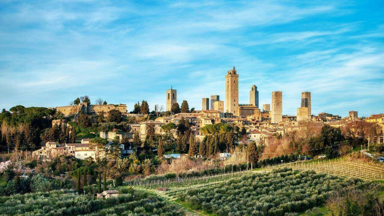
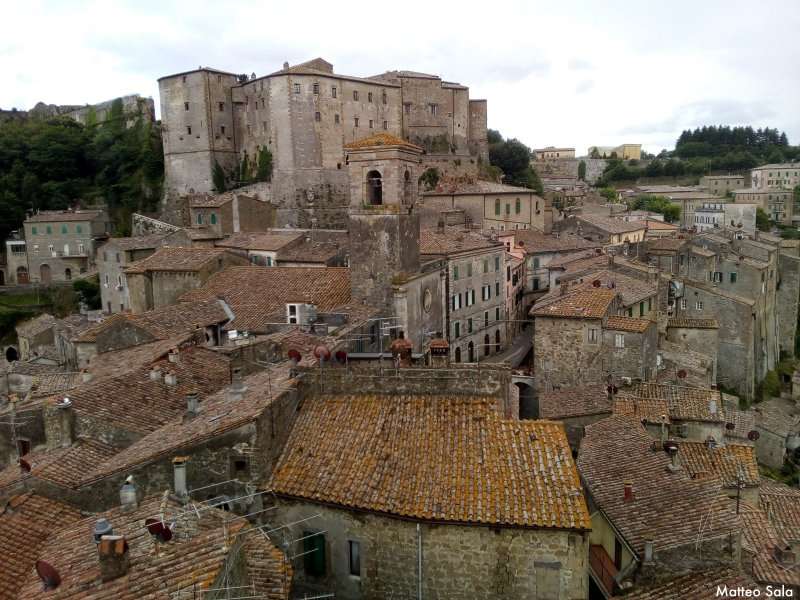
You'll have the opportunity to walk through centres known to us all from our studies and reading, such as Assisi, Orvieto and Todi, but the most intense emotions come from discovering marvellous and overlooked villages—picture-postcard hamlets with perfectly preserved historic centres untouched by the tourist flows that have marked more famous cities: particularly worth noting for their beauty are Osimo, Treia, Gualdo Cattaneo, and Nocera Umbra with its historic centre restored twenty years after the earthquake.
Unforgettable are the sunken roads (vie cave) of Tuscany (paths carved into tufa dating to the Etruscan era, between Sorano, Sovana and Pitigliano, actually used for local mule transport until the 1950s). Don't miss the Tombolo della Feniglia, a magnificent state forest reserve that rewards your arrival with six kilometres of pinewood shaded from the sun.
Share
apiediperilmondo by wayure
New articles on walks, trekking and hiking trips. Free, no spam.
Co-fondatore di Apiediperilmondo e Wayure | Camminatore, imprenditore, costruttore
A hundred times the Camino de Santiago. Eight times the Kumano Kodo. Dozens of times the coasts of Portugal, then the Via Francigena, Ireland, England, Normandy: every walk you find here I have done on my own two feet, in every season, alone and with private groups and companies. I do not offer a single step I have not walked.
Profilo e tutti gli articoli di Vincenzo