Via Spluga: Walking Between Italy and Switzerland
Discover the Via Spluga, a 68 km alpine trail connecting Thusis to Chiavenna through centuries of history, vibrant culture, and breathtaking mountain landscapes.

In this article
The Via Spluga route begins in Thusis. As the capital of the Hinterrheintal region in the canton of Grisons, this charming village of around 2,700 inhabitants is gaining increasing tourism significance—both as the starting point of the Via Spluga and for its proximity to the spectacular Via Mala gorges.
Stage 1: Thusis – Andeer
We depart from the centre of Thusis (699m) and, following the Traversina path, we faithfully retrace the ancient Roman route of the Via Spluga. The alpine landscape is enchanting, and the Traversina suspended bridge, with its 58m length at a height of 98m, is truly breathtaking.
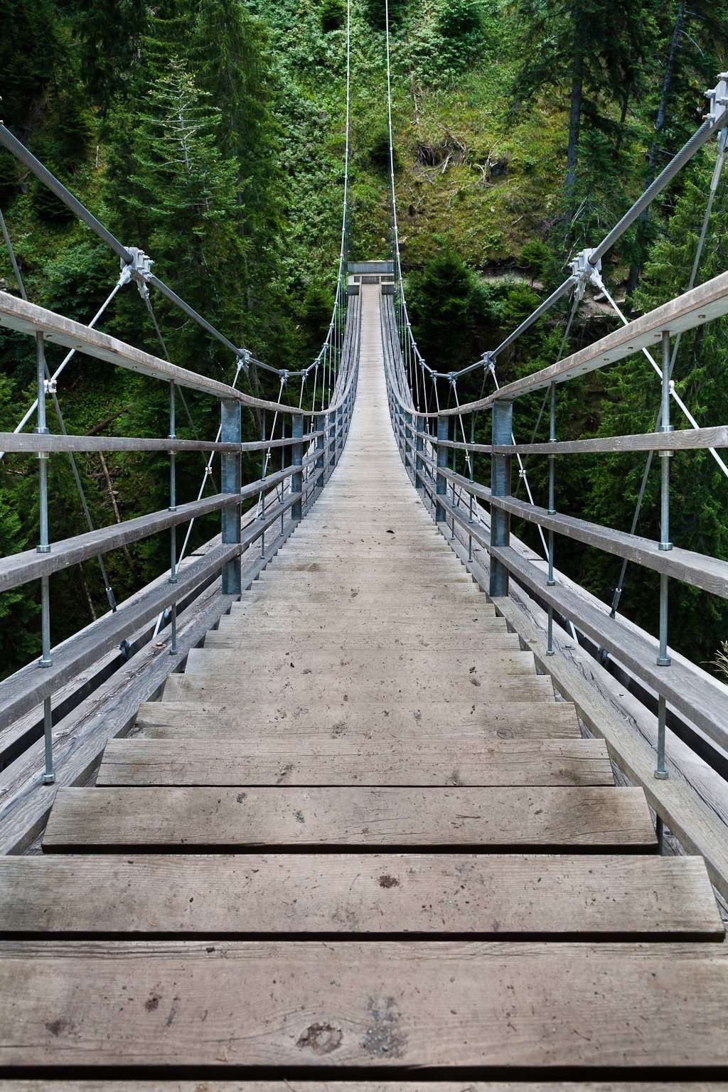 After approximately 3.5 hours, 7km and an elevation gain of +640m/-470m, we reach the visitor centre of the Via Mala gorges. 321 steps lead us into the heart of the gorges where, looking upward, we can observe in some spots the impressive 300m rock walls towering above us. We can also hear the roar of the Posterior Rhine, whose power has carved this magnificent landscape over centuries.
The route continues along a path carved into the rock face beside the river. Another suspended bridge takes our breath away as we climb gently toward the village of Zillis (982m). This small village of about 370 inhabitants deserves a visit to the Church of San Martino, which, with its 153 ceiling paintings, is also known as the Sistine Chapel of the Alps.
In addition to depicting the legend of San Martino, the paintings feature the life and death of Jesus in the central area, fantastical sea creatures on the sides, and the four winds in the corners. Painted in the early twelfth century and beautifully preserved to this day, they are considered among the oldest in Europe.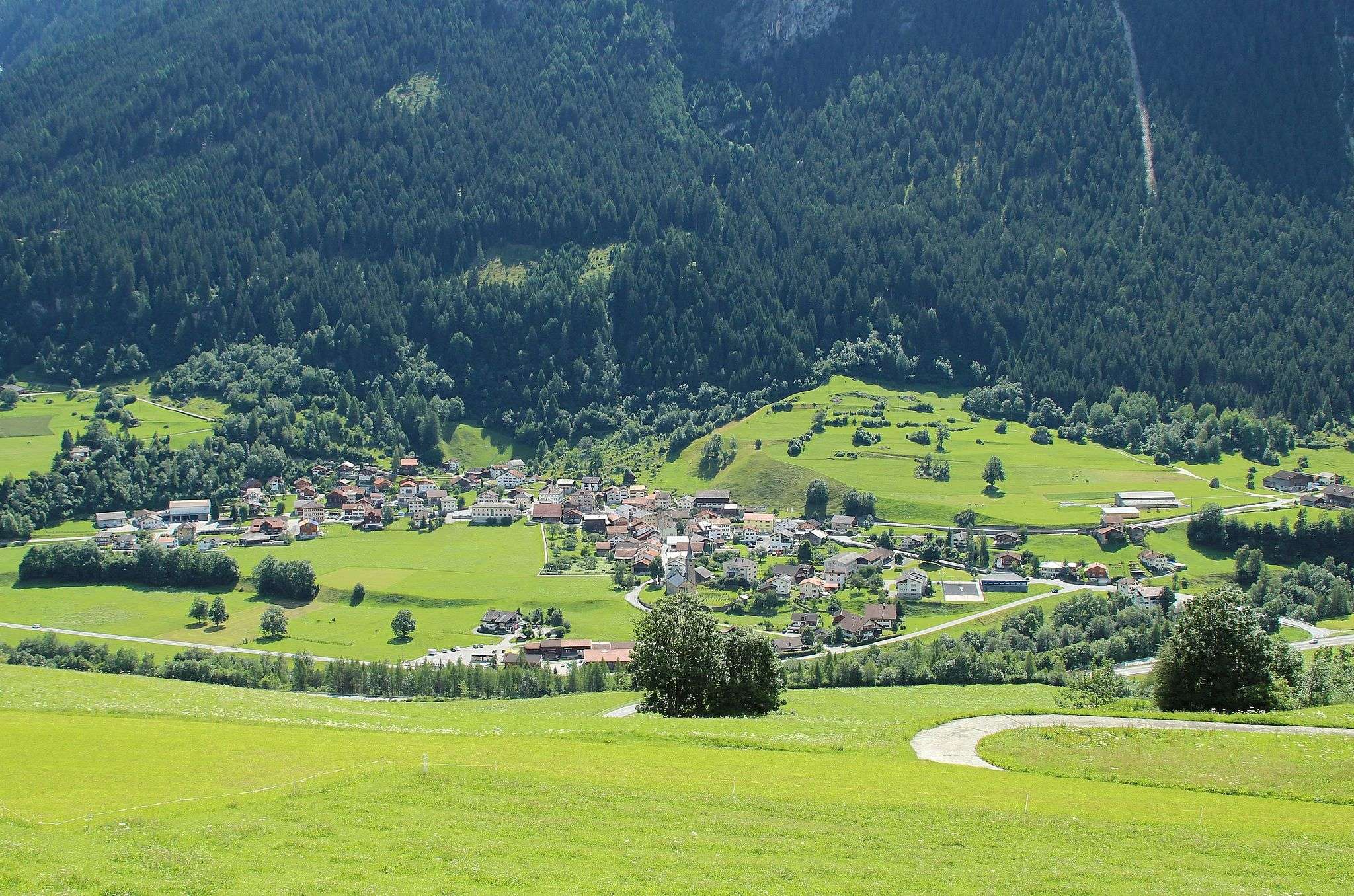
After visiting the church, we head toward the town of Andeer (982m), which marks the end of the first stage after 18km.
This small centre of about 900 inhabitants features a wonderful wildlife park and is known for its thermal waters at 34 degrees Celsius, where we can immerse ourselves to relax and refresh our weary muscles.
Stage 2: Andeer – Splügen
From Andeer, we set out for the second stage toward Splügen, walking on historically rich paths once travelled countless times by pack animal handlers. After several kilometres, we reach the Roffla Gorges, a modern pathway also carved into the rock.
A determined American emigrant succeeded, after 8,000 explosions and approximately 7 years of work, in blasting through the gorges, allowing everyone to witness the sight and sound of the roaring Posterior Rhine waterfall. The gorges can be visited upon purchase of an entrance ticket of approximately €3.
After about 10km of steady uphill walking, we reach the small village of Sufers (1428m), situated on the namesake lake created by a dam on the Posterior Rhine.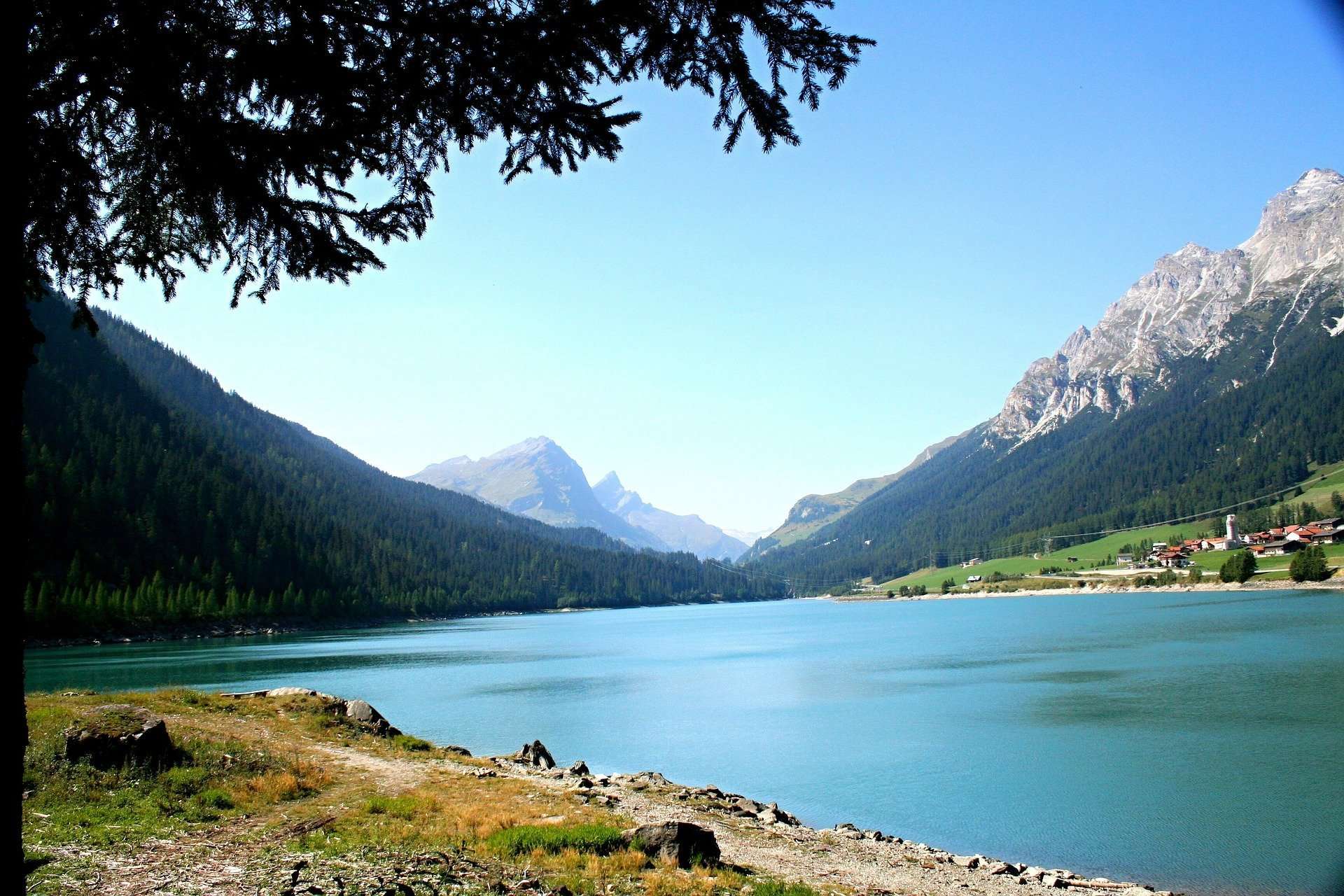
The landscape is enchanting—few houses and only 130 inhabitants. Nestled between mountains, with lush meadows and turquoise lake waters, it offers an emotionally moving spectacle.
We leave Sufers on an uphill path leading to Splügen (1457m), the end of the second stage after 18km. This small village of about 500 inhabitants sits just a few kilometres from Splügen Pass on the Swiss side. At 900m elevation, the castle ruins once served to control access to the Via Mala and the old road.
It's advisable to rest here before continuing the next day, as the 1,000m elevation gain ahead deserves to be tackled with proper respect for the mountains and your legs.
Stage 3: Splügen – Isola
We set off immediately on an uphill climb, and after about 250m of elevation gain in the first 4km, we skirt the ski lift installations. After 3km, we reach the highest point of the entire route, cross the state border and enter Italy.
Curious note: we are at the point in Italy furthest from the sea.
The view is spectacular: on one side the Swiss valley and on the other the Italian valley, where we cannot help but notice the winding asphalt switchbacks climbing toward the pass.
From here, the route is mostly downhill to the finish.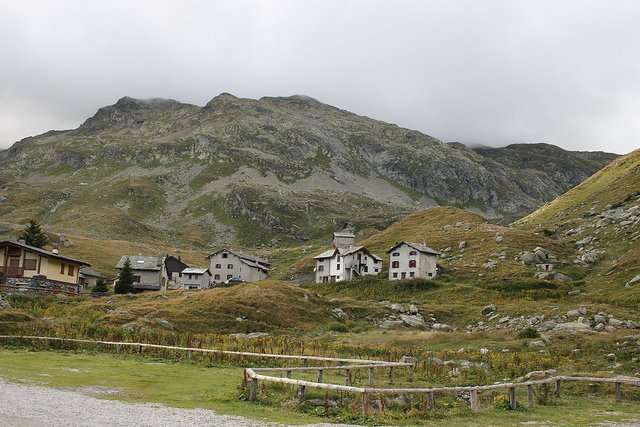
A few more kilometres and we reach Montespluga (1908m). This small Italian village sits on its namesake lake in a verdant valley, framed by the high peaks surrounding it.
We continue along the Val del Cardinello, where we encounter impressive overhanging sections near passages carved into the rock. Fortunately, handrails help guide us and encourage caution, allowing us to safely enjoy a marvellous panorama.
After descending about 750m and covering 8km, we reach the third stage,
Isola (1273m), a hamlet of Madesimo.
Stage 4: Isola – Chiavenna
From Isola we set out on the fourth and final stage, descending through Val San Giacomo toward Campodolcino.
This destination is well-known to skiers for its ski lifts toward Alpe Motta and Madesimo, and offers hikers the chance to visit MUVIS, the Museum of the Via Spluga and Val San Giacomo.
We continue descending through the valley and reach the location of Cimaganda (907m), situated on the Lirio river and a training spot for rock climbers who can make use of a vast park of granite boulders of various sizes for practice and enjoyment.
Leaving the climbers' paradise behind, we tackle the final 8km toward Chiavenna, the destination of our hiking itinerary.
Positioned at the junction of the two valleys of San Giacomo (Splügen) and Bregaglia, Chiavenna has been a centre of great importance since ancient times.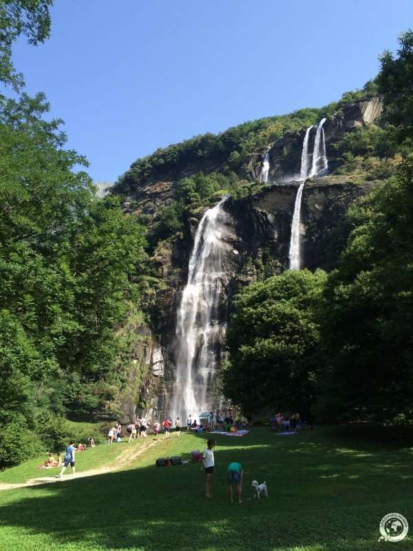
Today known for its numerous wine cellars and delicious Bresaola charcuterie, Chiavenna offers visitors the chance to explore the giant's potholes park just outside the city, and the Vertemate Palace in the nearby Piuro locality, close to the Acquafraggia waterfalls.
The Mill Museum offers precious insights into industrial archaeology, displaying numerous wooden machinery originally powered by channelled water to generate the force needed to operate the mills.
As a starting point for various walks, it's the ideal place to enjoy the beautiful valleys and savour the delicious local Chiavenna cuisine.
History of the Via Spluga
The Via Spluga runs between Thusis and Chiavenna.
Walkable in both directions, it was rediscovered in July 2001, following restoration efforts begun in 1995 by the Valchiavenna Mountain Community (IT) and the Regioviamala (CH) to upgrade the route with clear vertical and horizontal signage, establishing trails and pathways.
Travelled since Roman times, the Via Spluga was for centuries an important communication route between northern Italian regions and transalpine Europe, facilitating the invasion of southern Germany. Thanks to the Via Regina, it connected the upper Po Valley with nearby Raetia along the northern shores of Lake Como.
In those days, Chiavenna was the last point accessible by wheeled vehicles, reachable via the Via Regina. From there, merchants' only option to cross the Alps was to traverse Val San Giacomo (Splügen Valley) and cross its namesake pass, then descend to Chur, the capital of nearby Raetia.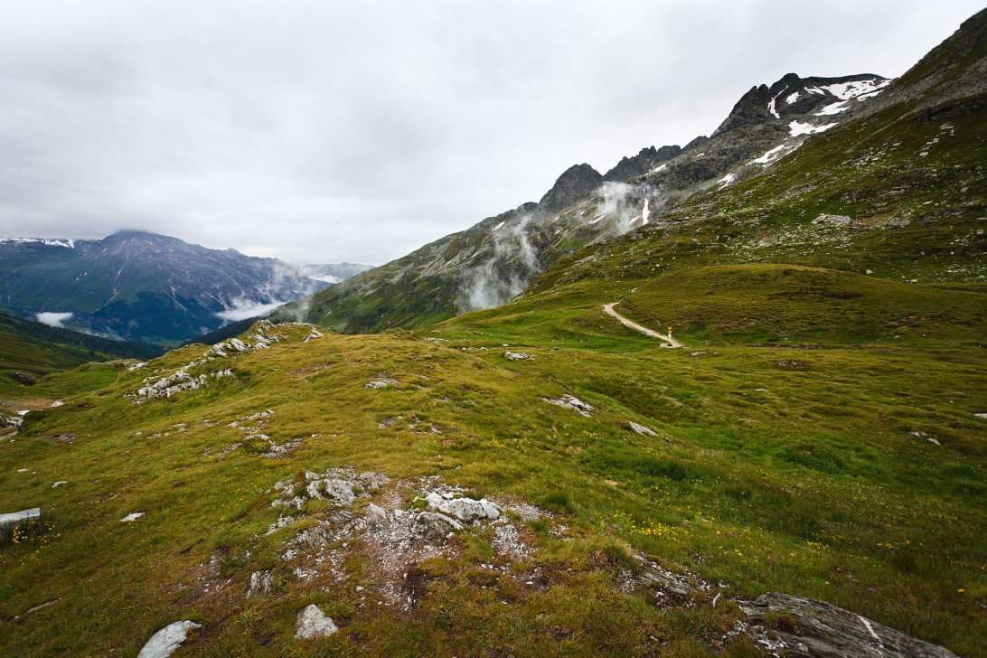
After a period of decline caused by Early Medieval crises, the Via Spluga regained importance and became a thriving trade route for various commodities.
In the fifteenth century, numerous improvements were made along the entire route and work began on improving the Via Mala section, allowing transport companies—known as pack handlers—to travel the road and conduct commerce.
However, this required a relay system: pack animals couldn't cover the entire distance in a single day, and transport companies couldn't afford to keep their "cargo" tied up for too long. Therefore, "staging posts" were established where pack animals were exchanged to allow goods to continue their journey.
This system functioned until the early 1800s, when the modern carriage road over Splügen Pass and the nearby San Bernardino Pass was constructed, causing the pack handler profession to gradually disappear.
Splügen Pass experienced intense traffic only briefly, as the late-nineteenth-century opening of the Brenner, Gotthard and Moncenisio tunnels and Alpine railways shifted attention to other routes, undermining its commercial significance.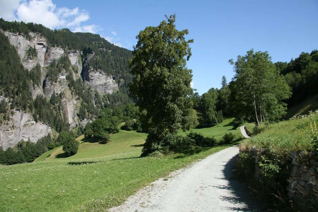
Today the Via Spluga, traversable on dirt paths, farm roads, rock passages and suspended bridges, has become a stunning historical, cultural and hiking itinerary.
For those wishing to drive across Splügen Pass, note that it remains open only during summer months.
Via Spluga Information
Getting to Thusis
- BY CAR
- Como–Chiasso motorway heading toward Switzerland, then E43 toward Chur and San Bernardino, exit at Thusis.
Getting to Chiavenna
- BY CAR
- From Milan, follow the SS36 state road via Lecco, exit at Colico and continue on the Via Spluga toward Chiavenna–St. Moritz.
- BY TRAIN
- From Milan, take LINE 3 toward Monza, then to Colico and finally to Chiavenna.
Related Walking Routes
- Via Priula – From Chiavenna reach Morbegno via the Valchiavenna cycle path and Valtellina trail (58km)
- Via Sett – From Thusis to Chiavenna via Settimo Pass
- Via Bregaglia – From Chiavenna to Maloja
- Via Mala – From Thusis to Andeer
Share
apiediperilmondo by wayure
New articles on walks, trekking and hiking trips. Free, no spam.
Co-fondatore di Apiediperilmondo e Wayure | Camminatore, imprenditore, costruttore
A hundred times the Camino de Santiago. Eight times the Kumano Kodo. Dozens of times the coasts of Portugal, then the Via Francigena, Ireland, England, Normandy: every walk you find here I have done on my own two feet, in every season, alone and with private groups and companies. I do not offer a single step I have not walked.
Profilo e tutti gli articoli di Vincenzo