Via Francigena: Alpine Descent from Gran San Bernardo Pass to Ivrea
Experience six transformative days walking from the Alpine heights down to the Po Valley plains. Discover the opening chapters of Italy's most sacred pilgrimage route as mountains give way to fertile lowlands.

In this article
Table of Contents
- Starting point: Gran San Bernardo Pass
- Distance: 112 km
- Difficulty: Hiking
- No. of stages: 6
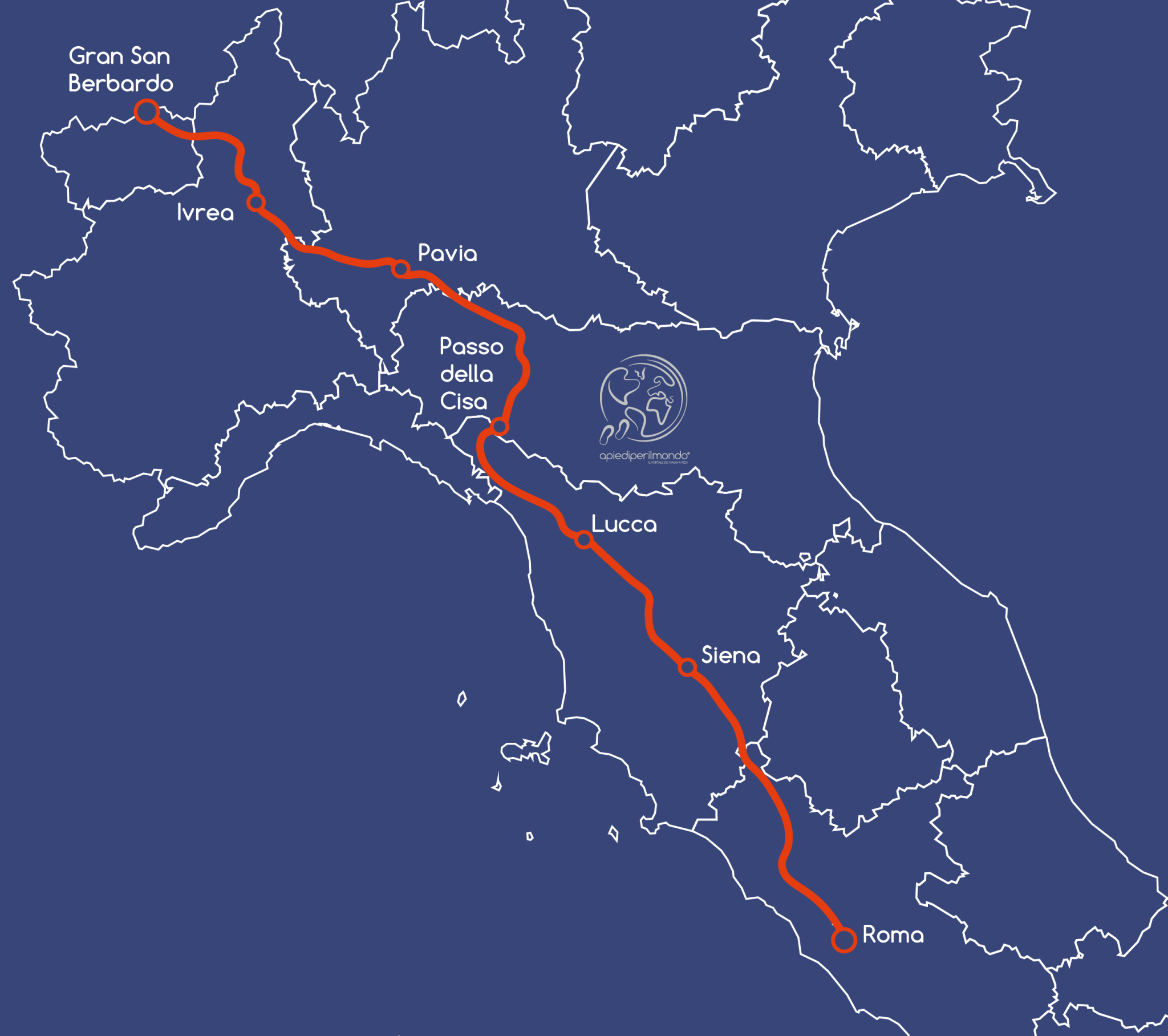
The Via Francigena running from the Gran San Bernardo Pass to Ivrea is approximately 113km long and typically unfolds over 6 stages, averaging around 20km per day. Those who choose to start here and complete the entire pilgrimage to Rome know they face one of the most challenging physical journeys, yet they're also embarking on a path that will leave an indelible mark on their memories.
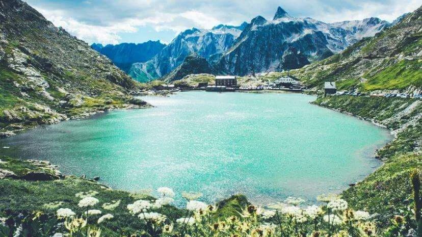
The Gran San Bernardo Pass sits at 2,473 metres elevation on Swiss territory. It remains snow-covered for much of winter and spring, which is why very few pilgrims choose to depart from here during these seasons for safety reasons.
It typically opens during the first week of June and remains passable until late September, when snow begins falling again.
The starting point preferred by pilgrims during the open months is the hospice hotel, where you'll typically receive your first credenziale stamp.
It's easily accessible from Aosta by bus with two daily services, one in the morning and one in the afternoon, making it one of the most spectacular starting points of the entire Via Francigena.
Those who choose to start here and complete the entire pilgrimage to Rome know they face one of the most challenging physical journeys, yet they're also embarking on a path that will leave an indelible mark on their memories.
In this article, I want to describe the first week of walking, from the San Bernardo Pass to Ivrea, a section that will let you discover not only the Alpine portion of the Via Francigena but also the mountain trails and villages of the lower Aosta Valley and the first reaches of Piedmont.
Want to start from Ivrea? Read our article on the Via Francigena from Ivrea to Pavia.
Trail Challenges
The primary challenge on this section of the Via Francigena comes from the significant elevation changes you'll encounter.
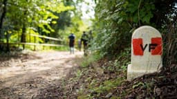
There are no other critical issues: the route is exceptionally well-marked, with Via Francigena signage combined with CAI mountain trail markers, making it virtually impossible to get lost even in poor visibility or fog.
You should take care not to slip on downhill paths in bad weather, but you'll pass through numerous villages and small hamlets, which ensures safety from both injury risk and access to water and supplies.
Where to Stay
In the Aosta Valley, a shortage of dedicated pilgrim accommodation forces certain fixed stage lengths, though new hostels reserved exclusively for pilgrims heading to Rome or Canterbury continue to open each year.
As a high-tourism region, you'll find hotels and bed-and-breakfasts, with prices moderately higher than elsewhere on the route, which will affect your total budget.
What to Eat
Along the route, you'll find supermarkets, cafés, bakeries and shops in many villages where you can stock up on supplies for the day. For evening meals, try local specialities such as Valpellinese soup or the region's distinctive cheeses including Fontina, Toma, and Reblec.
Vineyards accompany your exit from the Valley, so don't miss sampling some of the excellent local red wines such as Nus Rouge, Arnad-Montjovet, and Donnas.
For white wines, we recommend Nus Malvoise.
Stages from Gran San Bernardo Pass to Aosta
Gran San Bernardo Pass → Etroubles / Echevennoz 15 km
Etroubles / Echevennoz → Aosta 14 km
The first two Italian stages of the Via Francigena tackle significant downhill elevation. Most pilgrims starting from the Pass spend their first night in Echevennoz, as despite the distance being manageable, the descent is substantial at 1,200m. The trail winds through high pastures and half-elevation paths initially, then continues along mulattiere (mule tracks) and secondary roads.
After the first night, you descend again (600m elevation loss) into Valpelline, where the route largely follows the ru—ancient irrigation channels—down to the valley floor and Aosta, your next overnight stop.
These two short-distance days allow your legs to acclimatise to walking while giving you time to visit the villages you pass through, including the city of Aosta, the first major town on the Via Francigena.
Aosta → Chatillon 27.8 km
Chatillon → Verres 19.4 km
Verres → Pont-Saint-Martin 14.3 km
Pont-Saint-Martin → Ivrea 22.5 km
On this section of the Via Francigena you walk along the adret—the south-facing slope of the Dora valley—following a network of hillside footpaths, trails alongside the ru channels, and passing through the famous terraced vineyards characteristic of this part of the Aosta Valley. The elevation changes become considerably gentler, though the path to Ivrea still features genuine ups and downs with few completely flat stretches lasting more than a few kilometres. Mountains continue to frame the view, with peaks including Monte Emilio (3,559m), Becca Torché (3,016m) and Becca di Vlou (3,032m) rising majestically around the route.
From Aosta, the Via Francigena follows trail 103, exceptionally well-marked with walking times shown on signposts—a feature unique to this section of the route.
Medieval and Roman heritage sites continue to appear along the way, reminding you of the various historical periods that shaped this landscape. Memorable is the crossing of the still-functional Roman bridge at Pont Saint Martin, used for 2,000 years, and just before this the imposing Fort Bard, dominating the entire valley. In summer the predominant colour on the hillsides is the lush green of the forests
Share
apiediperilmondo by wayure
New articles on walks, trekking and hiking trips. Free, no spam.
Redazione
La redazione di Apiediperilmondo. Guide, itinerari e storie nate camminando: consigli pratici, cammini in Italia e nel mondo, letture e spunti per chi viaggia a piedi.
Profilo e tutti gli articoli di ApiediperilmondoDiscover our itineraries
in Italy.
Via degli Dei in 5 stages
Via Francigena from Lucca to Siena
Via del Sale from Varzi to Portofino
Want a tailor-made itinerary?
Plan your trip