The 5 Best Treks in Austria for Hikers
Austria is a hiker's paradise waiting to be explored on foot. Discover 5 outstanding trekking routes through the Alps and beyond.

In this article
Table of Contents
A holiday in Austria simply isn't complete without dedicating a few days to trekking.
Wild yet welcoming, blessed with towering mountains, pristine lakes and flowing rivers, Austria is the perfect destination for organising treks that deliver unforgettable experiences along scenic trails. Trekking in Austria means immersing yourself in magnificent landscapes beneath alpine peaks soaring beyond 3,000 metres, surrounded by vast glacier-fed lakes, breathing pure mountain air with every step.
Listing every possible trail would be endless, so we've handpicked 5 of the finest trekking routes in Austria to guide you through this captivating land, unveiling unforgettable mountain scenery at every turn.
The Path of Love and The Waterfalls Trail in the High Tauern
The High Tauern National Park is Central Europe's largest protected area and the biggest in the Alps, spanning 1,800 km². It stretches across three regions: Carinthia, Salzburg and Tyrol. The landscape is spectacular, adorned with unspoiled nature where imposing peaks tower overhead, including the Grossglockner at 3,798 metres, with over 400 more summits exceeding 3,000 metres.
The park is formed of metamorphic rock, with expansive alpine pastures interspersed with untouched wilderness where thousands of wild animals roam freely—chamois, alpine ibex, marmots, golden eagles and bearded vultures in their natural habitat.
The High Tauern are hugely popular with mountaineers: the first glaciated peak was summited here in 1761—the Ankogel at 3,251 metres. Yet it's hikers who find the greatest appeal thanks to an extensive network of over 1,000 km of trails, an unparalleled opportunity for trekking in Austria, where everyone can chart their own course through this spectacular landscape.
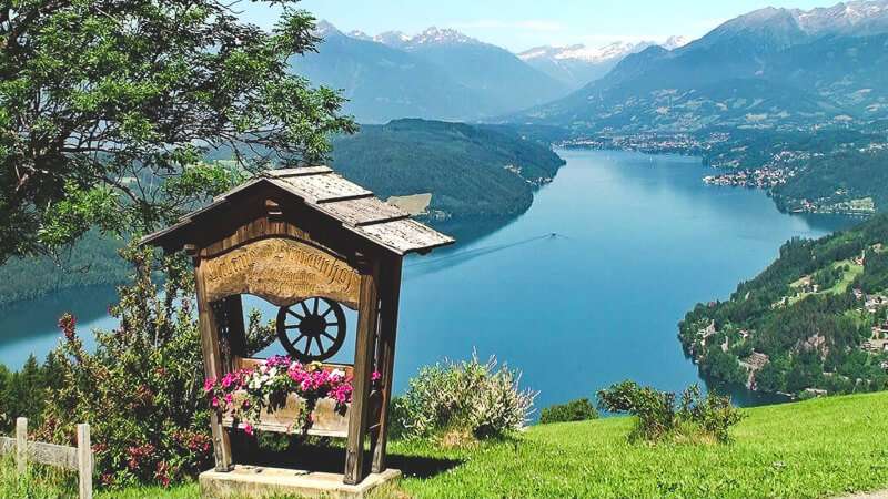
One such route is the Path of Love, Weg der Liebe, nestling among the Millstatt Alps, hugging the shoreline of Millstätter See, the jewel of Carinthia.
Its name dates back to the early 20th century, when a Vienna-based lawyer named Alexander Pupovac arrived in these parts. He fell in love with the young widow Rainer of Millstatt, married her and purchased a building that is now the Alexanderhütte mountain lodge—the first stop on the Path of Love, which the couple themselves created as a romantic walking trail.
Stretching nearly 7 kilometres with an elevation gain of around 300 metres, the Path begins at Alexanderhütte, where couples can inscribe their thoughts on a steel plaque. Along the way, there are seven panoramic viewpoints where you can linger, complete with benches holding guest books filled with love quotes, poems, sayings and affirmations.
The trail concludes after roughly three hours of walking at Granattor, a pass filled with tonnes of garnets, atop Millstätter Alpe at 2,000 metres elevation.
Moving into the Salzburg region, we find the Krimml Waterfall Trail, home to Europe's highest waterfalls and one of the most spectacular natural attractions in High Tauern National Park. The three cascades plunge over 380 metres in total—a magnificent spectacle. Since the late 1800s, thanks to the Austrian Alpine Club, this carefully crafted trail features panoramic rest stops offering natural vantage points from which to safely admire the thundering descent of water from the Krimml Ache torrent.
Covering roughly 4 km with a more demanding elevation gain of around 600 metres, this trail takes just over two hours to complete and is suitable for families with children. Well-marked throughout, it alternates between steep sections and gentler stretches, allowing you to catch your breath while still making steady progress, winding through forests and past rocky outcrops. Starting from the village of Krimml, the first waterfall is reached in about 20 minutes. Allow another 30-40 minutes for the second cascade, then a further hour for the third.
Once at the falls, you can continue for another two hours to reach the Tauernhaus mountain hut.
The Adlerweg—The Eagle Trail
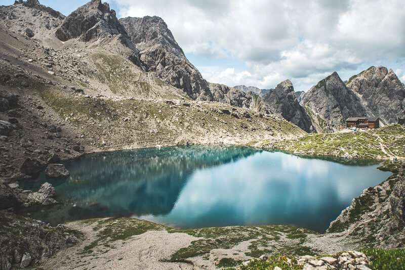
The Adlerweg is a renowned circular hiking route through the Tyrol, taking its name from its distinctive shape that resembles an eagle soaring amongst wild peaks.
The Eagle Trail is one of Austria's premier long-distance treks: spanning over 400 km with challenging elevation changes. For this reason, it's divided into two major sections: the main route in the northern region, North Tyrol, featuring 24 stages, and the eastern section, East Tyrol, with 9 stages.
The primary route's 24 stages take you from St. Johann, approximately 100 km from Innsbruck, to St. Anton am Arlberg, a village situated at 1,793 metres elevation and the ultimate destination of the entire eagle circuit, where you emerge immersed in postcard-perfect alpine scenery. Exceptionally well-signposted, you can choose to walk certain sections if you prefer—even a shorter day hike through the Tyrolean landscape, passing alpine huts, verdant meadows and commanding peaks overlooking crystalline lakes.
The second Eagle Trail in East Tyrol reconnects with High Tauern National Park, measuring around 100 km across 9 stages, each ranging from 7 to a maximum of 14 km; this route is also superbly equipped and marked, with several mountain huts positioned along the way, framing an immersive journey through the Eastern Alps' grandest glaciers, featuring over 300 peaks exceeding 3,000 metres, topped by the Grossglockner at 3,798 metres—Austria's highest summit.
The trail begins at Ströden, nestled at the foot of the Großvenediger, and finishes at Stüdlhütte hut beneath the shadow of the Grossglockner. Along the path you'll encounter the Umbalfälle waterfalls, mountain torrents and larch forests leading to Johannishütte, the oldest mountain hut in the Eastern Alps, built in 1857.
The Salzkammergut Region: Trekking Through Magnificent Lakes
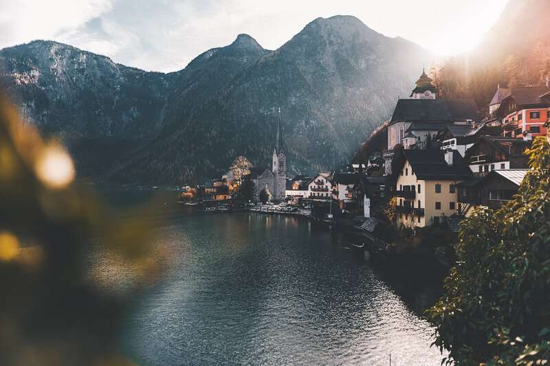
The Salzkammergut region takes its name from the "Salt Chamber Estate" (Salzkammer), which during the Hapsburg Empire era administered the renowned salt works, wielding considerable authority and prestige. Today it's a celebrated Austrian holiday destination stretching from Salzburg to the Dachstein massif, encompassing an area dotted with numerous waterways.
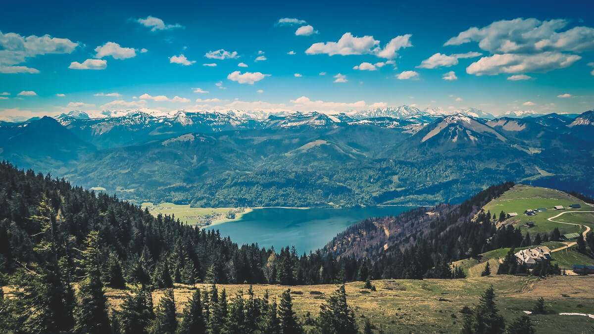
Imposing mountains and lush pastures mirror themselves in the crystalline waters of stunning lakes such as the renowned Wolfgangsee, the Schwarzensee and the Attersee. Nature and culture merge in perfect harmony, offering an ideal setting for a week-long trekking adventure in Austria.
Everyone can design their own route, but we suggest a circular itinerary departing from Bad Ischl, a celebrated cultural hub where you can visit the Imperial Villa, Café Zauner—famous for its "Zaunerstollen" pastry—and the Hotel Austria, where Emperor Franz Joseph and Elisabeth of Bavaria (Sissi) celebrated their engagement. You can also swim in the lake and enjoy the facilities at Parkbad Bad Ischl.
On day two, you begin the first stage of 24 km: from Bad Ischl you head towards Kalvarienbergkirche church, then along "Elisabeth's Forest Trail" to reach Rußbach, the Schwarzensee lake, Eisenau, Burgau and finally the Attersee. Walk along the lake shore to Weissenbach.
For the second stage of approximately 23 km, take the bus to the Burggrabenklamm alpine pasture access point, where a trail guides you through the gorges of Mount Schafberg. Continue between the Attersee and Mondsee (the Moon Lake), following the marked trail 17A, surrounded by mountains. Cross the Schaffling pass, descend to St. Gilgen and reach Abersee on the Wolfgangsee—an enchanting location where peace and tranquility prevail.
The third stage circling the Wolfgangsee is more straightforward. From Abersee, take the boat to St. Wolfgang, a charming village at the foot of Mount Schafberg featuring a late-Gothic church housing a magnificent triptych altar from the late 1400s by South Tyrolean artist Michael Pacher. Walking the higher trail, you'll enjoy splendid views across the lake dotted with traditional wooden chalets. From here, you can ride the Schafbergbahn cog railway ascending Mount Schafberg (1,760 m). From St. Wolfgang, continue on foot along the Bürglpromenade to reach Strobler/Weissenbach.
The following day, along the Strobler Weissenbach river, you walk the fourth stage for approximately 20 km to the Kammersbach hut, passing the Chorinsky dam and following the world's oldest salt trade route, which runs from the Hallstatt mountain—whose mines date to Celtic times—to the Bad Ischl salt works (our starting point), showcasing the production process of this region's most precious commodity, salt itself. Stroll through the "Kaltenbachau" meadows, where imperial-era horse races, picnics and rendezvous took place; relax with views across the lake toward the Dachstein massif, making your way to Bad Goisern, renowned for its fine craftsmanship.
From Bad Goisern, the fifth stage covers nearly 30 km along the eastern shore of the Hallstättersee lake to Obertraun, passing through the romantic Koppental valley. A thematic trail leads to the final village, Bad Aussee.
The final stretch, the sixth stage, spans 25 km through diverse landscapes: from the Altaussee lake across the Blaa Alm pastures and through the Rettenbachalm valley, returning you to Bad Ischl.
Hiking in the Alpbach Region, Tyrol
Share
apiediperilmondo by wayure
New articles on walks, trekking and hiking trips. Free, no spam.
Redazione
La redazione di Apiediperilmondo. Guide, itinerari e storie nate camminando: consigli pratici, cammini in Italia e nel mondo, letture e spunti per chi viaggia a piedi.
Profilo e tutti gli articoli di ApiediperilmondoTurn this inspiration into a real journey.
Tell us about your dream walk: we will build the itinerary together.