Walking in Tuscany: The Renaissance Ring Around Florence
A transformative 7-day loop circling Florence, the Renaissance Ring unveils hidden artistic treasures and timeless Tuscan landscapes. Walk where history breathes.

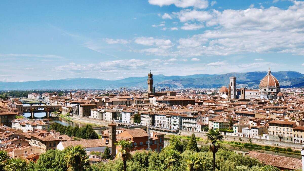
Florence offers an inspiring walking option: the Renaissance Ring Trail, a well-marked route connecting the most significant locations in the Florence region, featuring ancient churches, rolling hills and scenic viewpoints reserved for walkers. A perfect opportunity to hike for several days without straying far from the city, in one of Italy's most beautiful regions.
What is the Renaissance Ring Trail
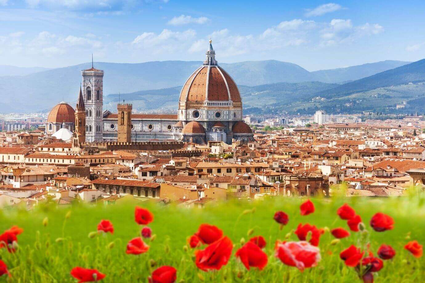
The Renaissance Ring Trail can be walked or cycled and measures a total of 175 km, comprising the ring around Florence (130 km) and 4 optional detours. These detours provide access to significant locations in the area, including Fiesole and, of course, Florence's city centre. The symbolic heart of the entire experience is ideally Brunelleschi's Dome of Santa Maria del Fiore in Florence, the universal symbol of Florentine Renaissance.
The trail is almost entirely on unpaved, untraficked roads and connects at key points with public transport to Florence's centre. The officially eight-section route is walkable in either direction, though clockwise is recommended. As a circular trail, there's no fixed starting point, but we suggest choosing carefully based on your desired finishing point: having a well-defined and ideally meaningful destination makes the entire experience far more rewarding and memorable! Additionally, to avoid walking the detours twice, plan ahead which ones you'll include (if not all!) and schedule arrivals to allow time for visits. The next day, simply continue from the junction back onto the main ring.
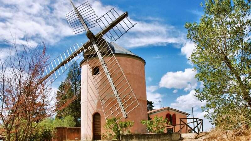
We completed the Ring Trail in 7 days. We started from the Certosa del Galluzzo, south of Florence. Proceeding clockwise, we chose to include detours to Fiesole and Piazzale Michelangelo. As is often the case, we adapted the official stages to suit our time and fitness levels. Everyone has their own pace! We concluded our experience from the panoramic balcony of Piazzale Michelangelo, the finest vantage point for admiring Florence and Brunelleschi's Dome.
The Renaissance Ring Trail Route
Day 1
Distance: 24.6 km
Start: Certosa del Galluzzo
Finish: Signa – Renai State Park Entrance
Elevation gain: 554 m
Elevation loss: 596 m
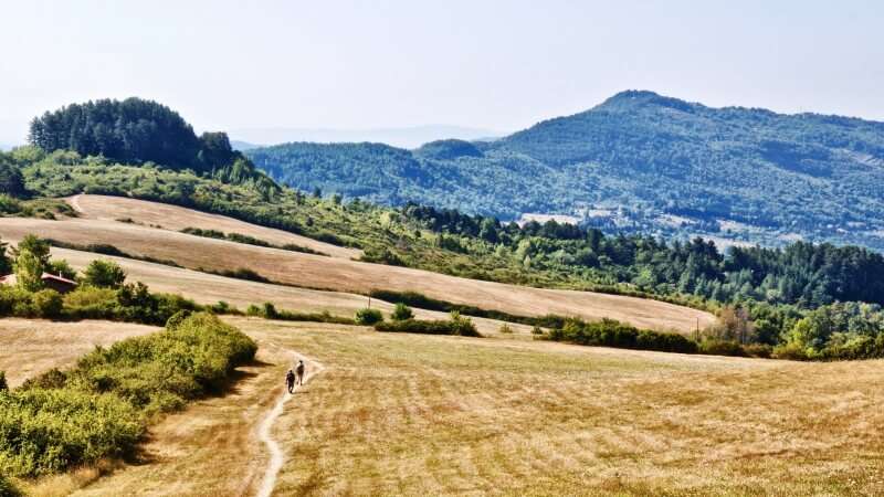
Almost entirely on unpaved or minimally trafficked asphalt. Plenty of shade except on the final stretch (Lastra a Signa, Ponte a Signa, Signa). Well-marked with no obstacles.
At the entrance to the Renai Park in Signa, you can take a detour along the Arno River towards Florence via Parco delle Cascine. This section measures about 14 km, is nearly completely flat and allows you to reach Florence's centre on foot (note: limited shade!).
Day 2
Distance: 16.9 km
Start: Signa – Renai State Park Entrance
Finish: Calenzano – Church of San Donato
Elevation gain: 166 m
Elevation loss: 88 m
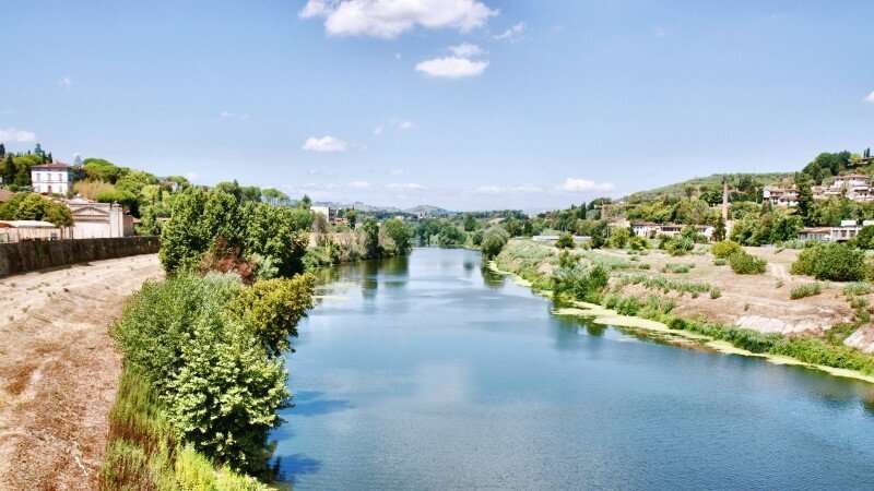
A less scenic section overall, except for the stretch along the Bisenzio River from San Mauro a Signa to Capalle. The industrial zone of Campi Bisenzio is indeed industrial but passes quickly. This section is nearly entirely flat except for the final climb to the Church of San Donato.
The villages of Capalle and Calenzano (upper borough) are pleasant and shaded, while the rest is mostly exposed to sun. The stage ends at the Church of San Donato in Calenzano, which hosted Don Lorenzo Milani for seven years.
Attention! The initial stretch from the Renai Park entrance to San Mauro a Signa is no longer passable. The path along the Bisenzio was severely damaged by flooding years ago and remains unrepaired. The only alternative is the trafficked asphalt road until you rejoin the original route at San Mauro.
Once back on the trail at San Mauro, there's a section of the Ring Trail that follows a narrow footbridge (about fifty centimetres wide) without adequate side protection. These hazards have been reported to Florence's Tourism Office and we hope for prompt repairs, but in the meantime, exercise appropriate caution.
Day 3
Distance: 18 km
Start: Calenzano – Church of San Donato
Finish: Vaglia
Elevation gain: 669 m
Elevation loss: 499 m
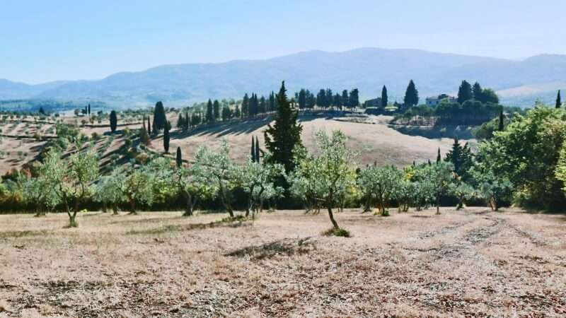
Slightly more demanding than previous stages. Abundant shade along the unpaved roads that comprise almost the entire route, except for the final 2 km on minimally trafficked asphalt.
Day 4
Distance: 21.4 km
Start: Vaglia
Finish: Fiesole – Piazza Mino da Fiesole
Elevation gain: 741 m
Elevation loss: 732 m
The first section of this stage, ending at Alberaccio, is part of the core Ring Trail. The detour (11 km) from Alberaccio to Fiesole is optional but certainly enriches the experience, culminating in Piazza Mino da Fiesole in the eponymous village. The entire route is well-marked, largely shaded and obstacle-free.
Note that at Bivigliano you can take a shorter detour to Montesenario, a pleasant wooded area surrounding a convent. The detour, well-marked in the village of Bivigliano, is approximately 2 km each way.
Day 5
Distance: 21.3 km
Start: Alberaccio
Finish: Pontassieve
Elevation gain: 527 m
Elevation loss: 947 m
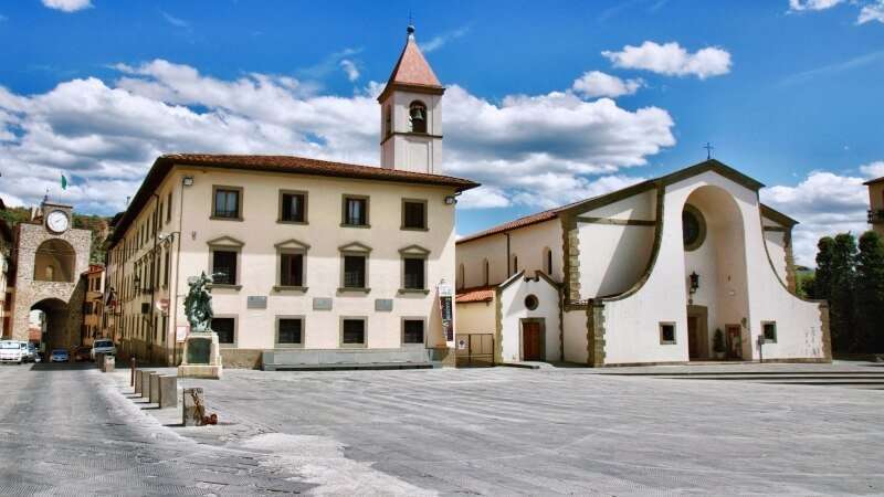
This stage starts from Alberaccio, the junction point for the Ring Trail's detour to Fiesole. The destination is Pontassieve along a route largely shaded and following unpaved or secondary roads. Particularly pleasant are the sections near Santa Maria del Sasso Church (Santa Brigida) and the Church of San Lorenzo at Monte Fiesole. The elevation becomes noticeable but is manageable.
Day 6
Distance: 22 km
Start: Pontassieve
Finish: Poggio di Tizzano
Elevation gain: 938 m
Elevation loss: 719 m
A long but thoroughly rewarding stage, shaded and almost entirely on unpaved roads and woodland trails. Only caution needed on the brief trafficked road section after San Donato in Collina: remain appropriately vigilant.
At Montecucco you'll intersect the Rignano sull'Arno–Montecucco–Il Bigallo–Bagno a Ripoli detour (13.5 km) which could add an extra day's walking to the area.
Day 7
Distance: 26.3 km
Start: Poggio di Tizzano
Finish: Piazzale Michelangelo
Elevation gain: 579 m
Elevation loss: 782 m
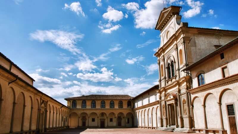
Though lengthy, this stage is not strenuous. The Ring Trail officially ends at the Certosa del Galluzzo (definitely worth visiting! see useful links) but it's well worth adding another 7 km to walk the detour to Piazzale Michelangelo, a fitting finale to such a significant journey!
Attention!
The section near the Antella stream is poorly marked with a difficult-to-follow trail. Use GPS. The detour from the Certosa to Piazzale is unmarked but in places follows the first stage of the Via Romea to Siena.
Best Time to Walk
Florence sits in a basin where temperatures are heavily influenced by the terrain: winters are often cold and summers extremely hot. However, the Renaissance Ring Trail develops through hillier, more peripheral areas, often at altitudes that provide summer relief from city heat. The route is best walked between March and October, taking advantage of typically sunny days and vibrant colours. August warrants careful consideration as heat can become quite uncomfortable.
Planning Practicalities: Transport, Food and Accommodation

Share
apiediperilmondo by wayure
New articles on walks, trekking and hiking trips. Free, no spam.
Redazione
La redazione di Apiediperilmondo. Guide, itinerari e storie nate camminando: consigli pratici, cammini in Italia e nel mondo, letture e spunti per chi viaggia a piedi.
Profilo e tutti gli articoli di Apiediperilmondo