Grande Traversata Elbana - GTE
Experience one of Italy's most spectacular mountain treks: 3 stages, 50 km of pristine Elban wilderness. A transformative journey across Elba Island's stunning peaks and hidden trails.

In this article
- Start: Cavo
- Distance: 50/60 km
- Difficulty: E/EE - Hiking
- Stages: 3/5
The Grande Traversata Elbana, or GTE as trekkers know it, is rightfully considered one of Italy's most beautiful and scenic long-distance walks. Blessed with sea views, mild weather throughout the year, and a perfect blend of history and nature, this trail stands out among European hiking destinations.
What is the Grande Traversata Elbana
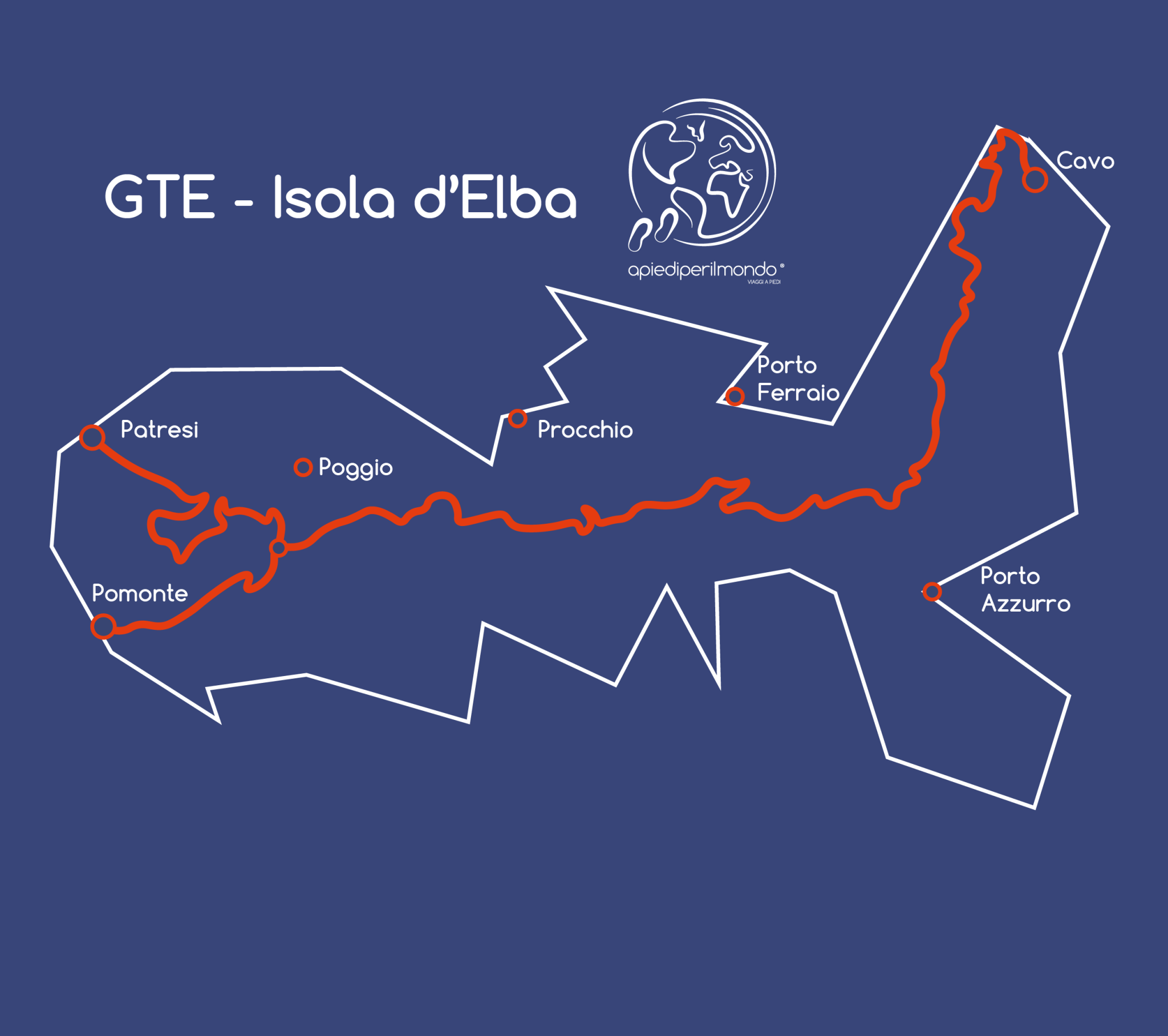
The Grande Traversata Elbana is a demanding hiking route graded E/EE that traverses the entire island of Elba from north to south, passing through the Tuscan Archipelago National Park.
Spanning 50 to 60 km depending on your chosen variant, it runs from Cavo on the island's northern tip to Pomonte on its western extremity. The trek takes 3 to 5 stages depending on your preferred daily distances, the sights you wish to explore, and accommodation availability—which lies just off the main route.
Elba, also known as one of the seven pearls of the Tyrrhenian Sea, is a magnificent destination for walking enthusiasts. Beyond the Grande Traversata Elbana, which as we'll see suits experienced trekkers, the island offers a vast network of trails and hiking routes scattered throughout, many featuring gentler difficulty levels.
Tuscany is renowned for its active tourism and trekking offerings—think of the Vie Romee or the Via Francigena—and this trail demonstrates the region's excellence once again.
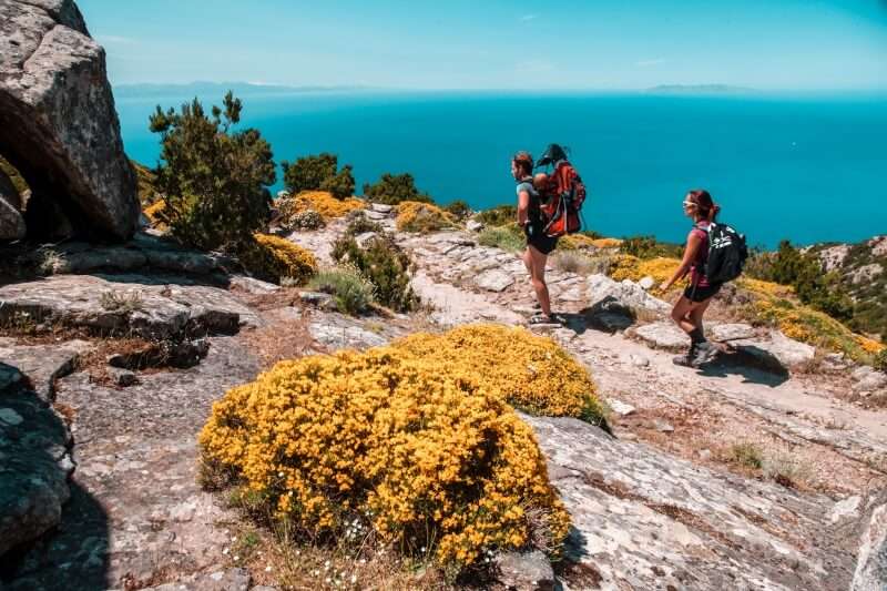
What's certain is that the Grande Traversata Elbana delivers breathtaking views. From certain vantage points, you'll enjoy sweeping vistas across Corsica, the Italian peninsula, and the entire Tuscan archipelago. The Mediterranean scrubland is particularly stunning—especially in spring—with golden broom flowers framing crystalline waters bathed in extraordinary light.
In short, it's a feast for the eyes and soul of every nature lover and dedicated walker.
Waymarking and maps for the Grande Traversata Elbana
The Grande Traversata Elbana is exceptionally well-marked. In addition to white-red blazes and GTE markings on rocks and trees, you'll find metal signs indicating destinations and walking times, plus wooden arrows—all displaying the GTE designation.
Alongside this dedicated waymarking, you'll encounter trail markers from the island's extensive trail network. This allows you to customise your route by following individual trail numbers as you compose your personal itinerary.
While hiking the Grande Traversata Elbana, you may encounter and briefly follow connecting trails, particularly where you branch off to reach overnight stops. Since no accommodation sits on the main GTE route, you'll always need to leave the trail and follow a different trail number to reach your chosen village.
As mentioned earlier, the GTE itself has no facilities, so you must always divert from the main route and follow an alternative trail number before arriving at your evening accommodation.
To explore Elba on foot, we recommend purchasing a trail map or hiking guidebook marking all the island's routes. Alternatively, the Tuscan Archipelago National Park—which encompasses Elba—has made its digital topographic map freely available through the Avenza Maps app.
I personally prefer walking with a paper map, but the digital version proves useful for initial route planning and real-time geolocation if needed, even without mobile signal.
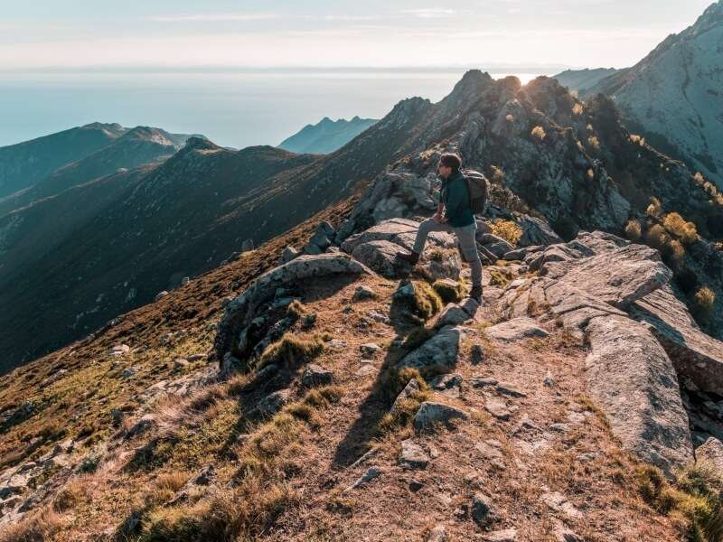
Difficulty of the Grande Traversata Elbana
The Grande Traversata Elbana is graded E/EE—experienced hiking level. The challenge doesn't stem primarily from stage length, which you can adjust to suit your needs. Rather, difficulty comes from:
- ● Substantial elevation gain – The GTE involves 2,430 metres of cumulative ascent and descent. Add to this the extra elevation required to reach off-route accommodation and return to the main trail. Such significant elevation gain reduces your average pace and extends walking hours.
- ● Uneven terrain – Some trail sections feature slippery ground, which poses minimal challenge uphill but becomes treacherous downhill. The significant strain on ankles and knees demands proper technique to prevent injury.
- ● Exposed sections – Certain passages are exposed, requiring the use of fixed ropes to navigate safely.
- ● Remote, isolated sections with limited phone signal – Solo trekkers must acknowledge you're in areas unreachable by vehicle. Know how to handle emergencies. Always inform your accommodation of your expected arrival time so they'll alert authorities if you're delayed.
- ● 7–8 kg backpack – Pack weight significantly increases difficulty. Heavier loads slow your pace and amplify fatigue, raising accident risk on uneven ground. The weight estimate assumes 3–4 days' worth of clothes and essentials, plus 2 litres of water (sources are rare on-route).
For these reasons, the Grande Traversata Elbana is not suitable for everyone. It demands solid fitness, mountain trekking experience, and appropriate equipment.
Put simply: someone in beach shoes on a summer holiday cannot safely improvise this trail.
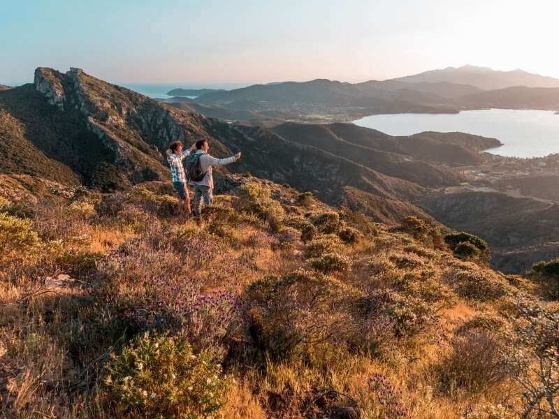
When to hike the Grande Traversata Elbana
The ideal season for the Grande Traversata Elbana is autumn through spring.
Summer should be entirely avoided due to extreme heat. Not only do temperatures soar near 35°C (95°F) in July and August, but the route remains relentlessly exposed to sun—rocky in sections with insufficient vegetation for shade. This combination creates dangerous conditions.
Winter presents its own challenges:
- ● Poor weather conditions – Rain and thunderstorms transform slippery rocks and descents into genuine hazards. While December and January may offer spectacular days, always check the forecast before departing.
- ● Limited daylight – Short days demand a brisk pace and disciplined stage planning to avoid hiking in darkness.
- ● Few fellow trekkers – Solo hikers should consider that remote locations see minimal trail traffic in winter, meaning limited support if difficulties arise.
Spring and autumn offer ideal conditions:
- ● Pleasant weather – Temperatures typically hover around 20°C (68°F), perfect for sustained hiking without overheating.
Share
apiediperilmondo by wayure
New articles on walks, trekking and hiking trips. Free, no spam.
Co-fondatrice, Apiediperilmondo
I've been organising walks since I discovered that walking slow is the fastest way to know a place. I take care of every logistical detail so you can focus only on the steps ahead.
Profilo e tutti gli articoli di DeborahDiscover our itineraries
in Italy.
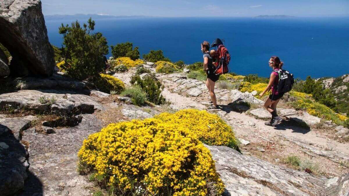
GTE - The Grand Traverse of Elba Island
Via degli Dei in 5 stages
Via Francigena from Lucca to Siena
Want a tailor-made itinerary?
Plan your trip