Via Priula and Passo San Marco
Walk the Via Priula, following the ancient Venetian trade routes from Morbegno to Bergamo through Alpine valleys and historic mountain passes.

In this article
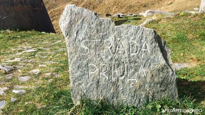
The Via Priula was created at the end of the 1500s by the will of the Venetian Podestà of Bergamo, Alvise Priula, who built it for commercial purposes. It connected the Bergamo plains with Valtellina at Morbegno, crossing Val Brembana, Valle Bitto and the San Marco Pass (1,991m), named in honour of the patron saint of Venice.
The San Marco Pass, which still hosts a custodian's house today (the Ca' San Marco, 1593, Europe's most important Alpine refuge) allowed passage through the Orobian Alps and access to Morbegno while avoiding Milan and its Duchy, thus facilitating the Venetian Republic and increasing commercial exchanges with valleys and regions beyond the Alps.
Completed in just two years 1590-1592, the Via Priula was, for most of its length, well constructed.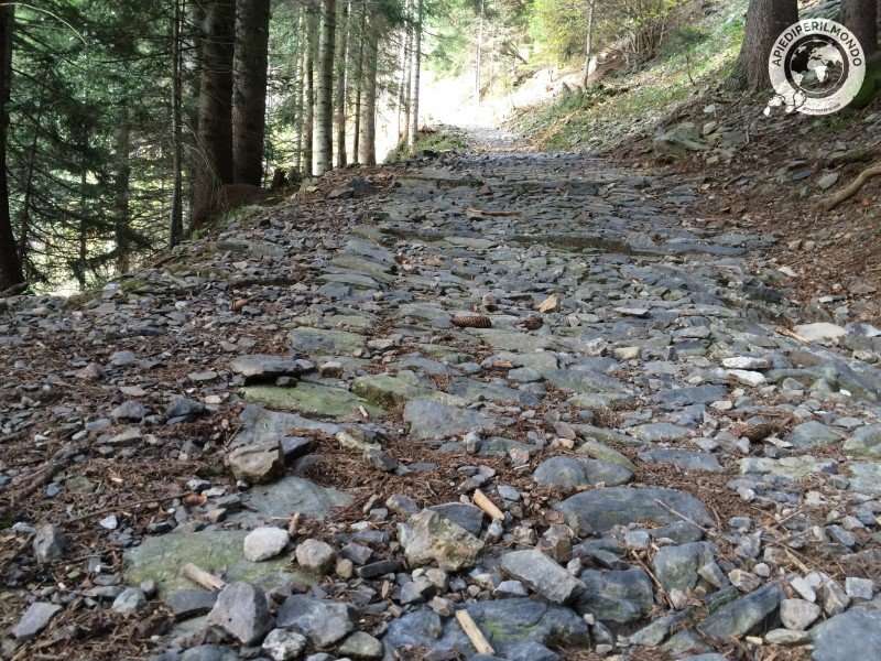
About three metres wide with drainage channels, rest areas and sturdy retaining walls, it was very easy to travel with carts loaded with goods of all kinds. Furthermore, thanks to its good exposure and the construction of several bridges, especially in Valle Bitto, which could be destroyed in case of enemy attacks to protect merchandise and people, it was simple to defend by Venetian guards.
The Chiavi di Botta were fundamental for the construction of the Via Priula—a series of arches anchored to the wall with chains, allowing a road to be built over them and enabling passage through previously isolated locations.
Traffic on the Via Priula was always modest, with few mules, pedestrians, herds of animals for seasonal migration, occasional military movements and messengers travelling between Venice and Paris.
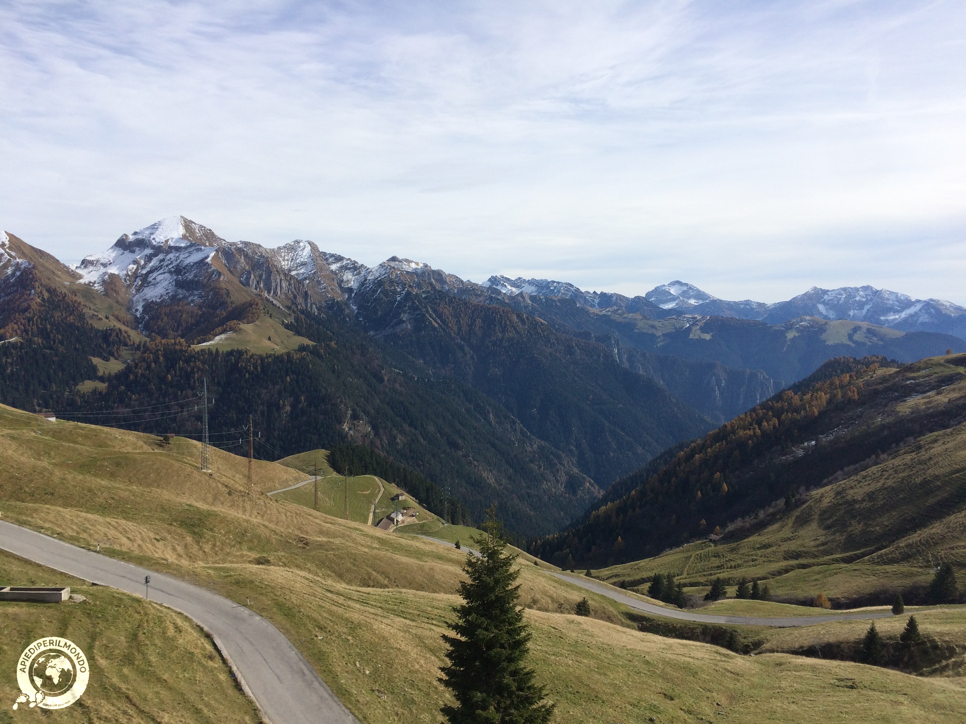 Ups and downs for nearly two centuries, until the early 1800s, when the end of the Venetian Republic saw the road abandoned. Only local people continued to use it to travel between valleys.
Today, by carefully reconstructing the entire route, it's possible to walk the Via Priula from Morbegno to Bergamo (Porta San Lorenzo), travelling along many stretches of the original ancient path.
The Via Priula route starts from the town of Morbegno, where the two Alpine chains, the Rhaetian and Orobian Alps, form the Valtellina Valley.
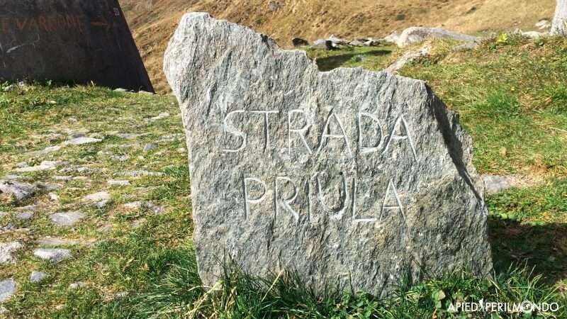
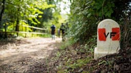
On Via San Marco, at the first Via Priula waymarking sign, our journey begins. We climb steeply towards Albaredo San Marco on a steep ascent, with classic rounded stones underfoot and two large retaining walls on either side.
The path crosses the state road several times that runs from Morbegno towards San Marco Pass (1,991m) and traverses the entire Albaredo and Bitto Valley that we're entering.
Along the way, the views are enchanting and we can see all the valleys and the saddle of the Pass in a single glance.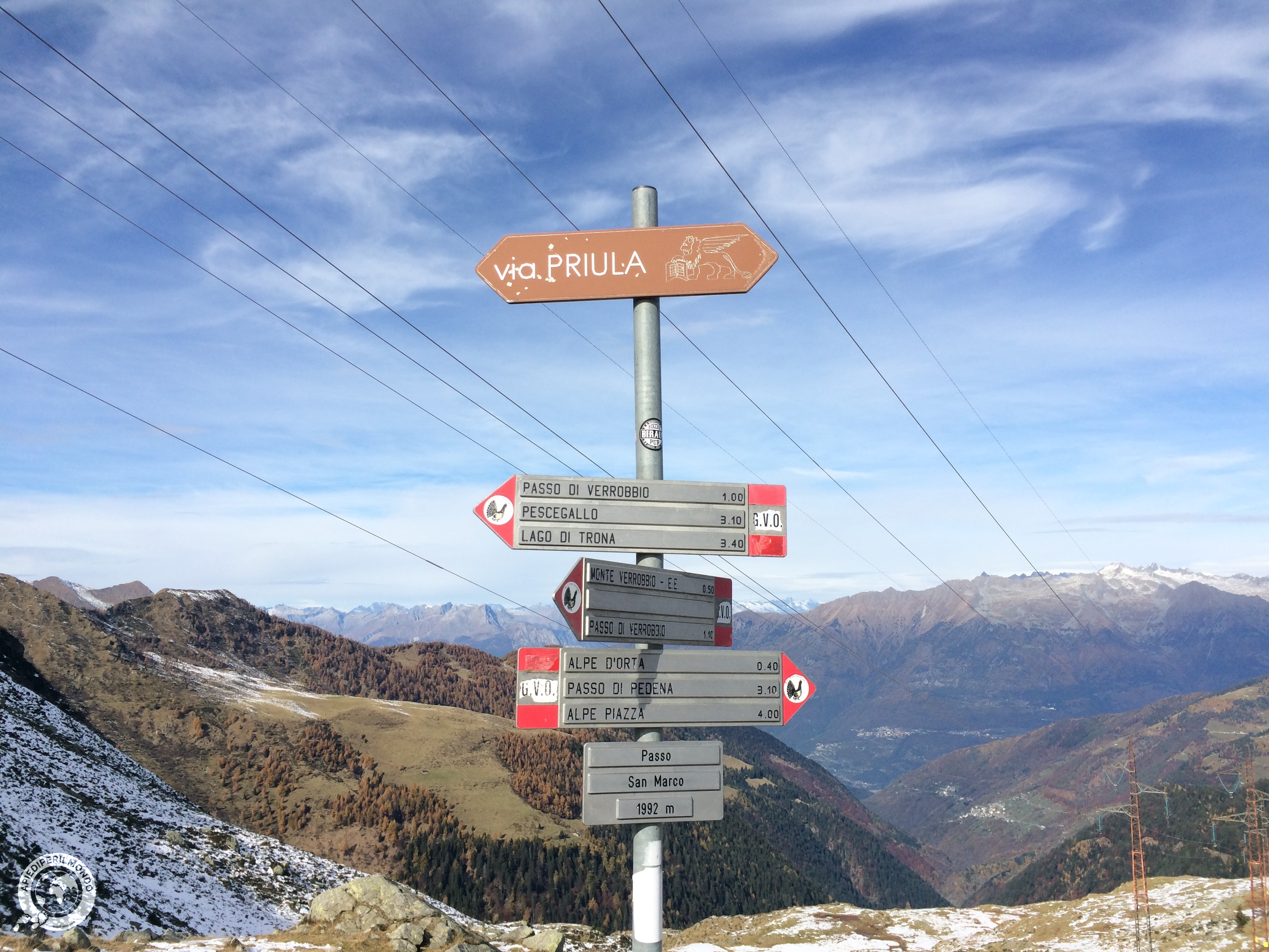
We reach the central square of Albaredo, and among the many ancient murals adorning the village, we're immediately struck by the fresco depicting Albaredo on the Venetian lagoon and the statue of the Lion of St. Mark—elements testifying to the strong historical link with the Venetian Republic.
We pass Albaredo with another brief uphill stretch, followed by a slight descent where the paved Via Priula becomes a footpath. Along the Valle d'Orta, the path climbs again in our final ascent. We've nearly reached the pass, easily identifiable by the numerous electrical pylons crossing it, when small woodlands and lush vegetation give way to rockier, more open scenery.
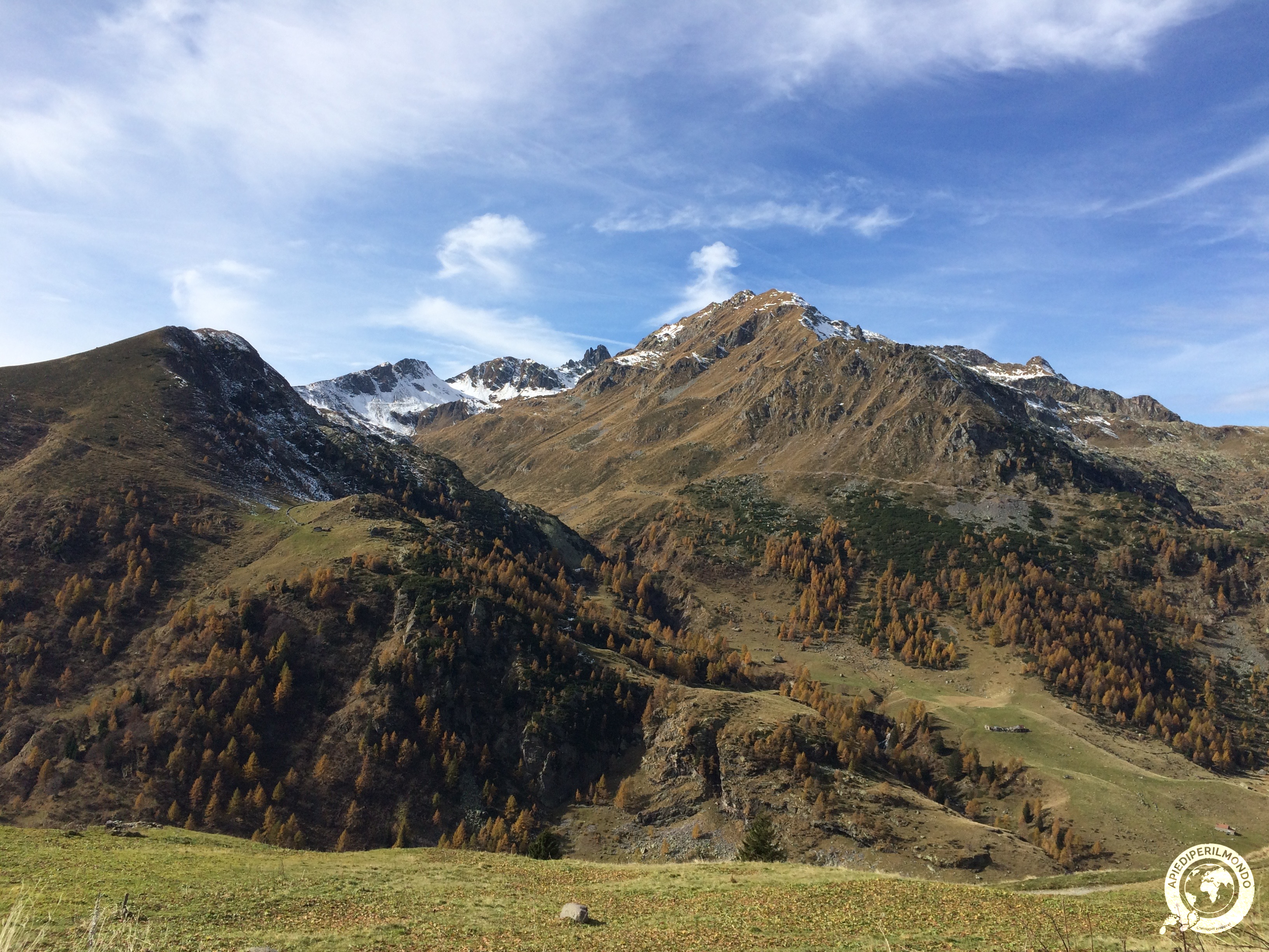
At the summit, the view is enchanting and spans 360°: on one side the valley we've just traversed, with Albaredo and Morbegno and magnificent views of the Rhaetian Alps, on the other the Brembana Valley we must cross to reach our destination.
At the pass, it's possible to visit the First World War trenches along the Cadorna Path.
We descend along the Via Priula towards the Ca' San Marco just below us, passing the new San Marco 2000 refuge, and descending another 500m through a forest path to Mezzoldo.
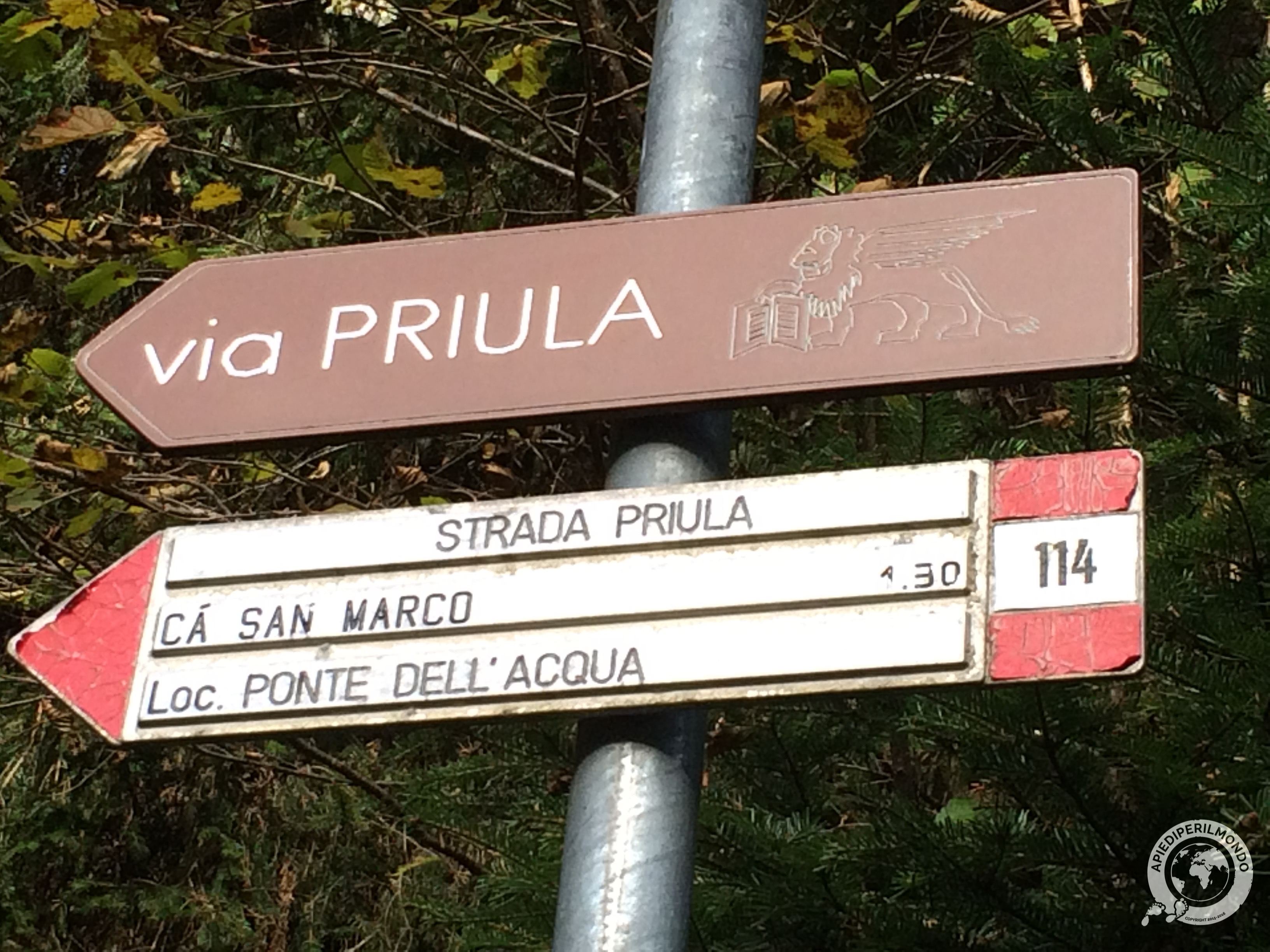
From here the route becomes much easier. We alternate stretches of asphalt with footpaths and sections of the old road, pass through the villages of Olmo al Brembo and reach Piazza Brembana.
A town of about 1,300 inhabitants, it owes its name "Piazza" to the almost flat terrain on which it stands, and was chosen by the Venetian Republic as the commercial and administrative headquarters of the "Beyond the Goggia" department.
From here the route doesn't continue along the ancient Via Priula but rather along the more modern Ciclovia Valle Brembana, a 38 km route connecting Piazza Brembana with Bergamo.
The route follows various sections of the old Brembana Valley railway line, crossing several villages (Lenna, San Pellegrino Terme, San Giovanni Bianco and others), running alongside the river for long stretches and crossing bridges, tunnels and parks.
After skirting Città Alta through Porta San Lorenzo and various cycling and pedestrian paths through the city, you arrive in Bergamo, the destination of our historic-cultural journey.
Share
apiediperilmondo by wayure
New articles on walks, trekking and hiking trips. Free, no spam.
Co-fondatore di Apiediperilmondo e Wayure | Camminatore, imprenditore, costruttore
A hundred times the Camino de Santiago. Eight times the Kumano Kodo. Dozens of times the coasts of Portugal, then the Via Francigena, Ireland, England, Normandy: every walk you find here I have done on my own two feet, in every season, alone and with private groups and companies. I do not offer a single step I have not walked.
Profilo e tutti gli articoli di Vincenzo